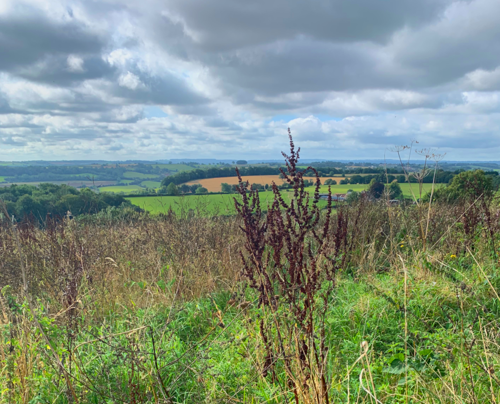
Combe Hay – 19.9.21
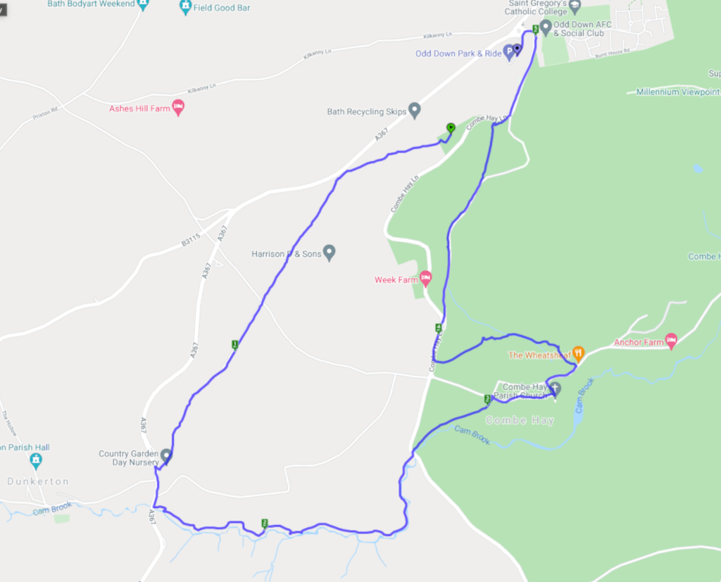

The walkmeter link map is a little skewed as I forgot to turn the GPS off as I started driving home! Oops. Just ignore anything after the 5 mile marker.
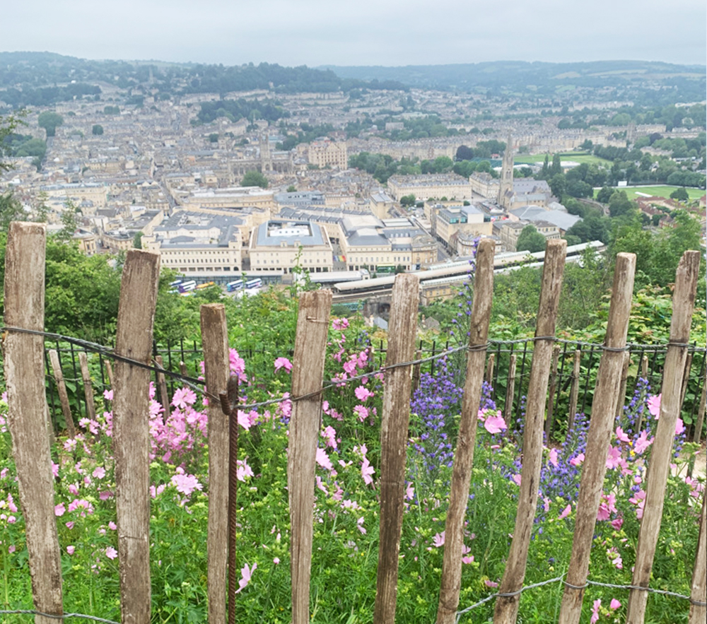
Ramblers group walks have started up again. We’ll be leading this walk in a couple of weeks (all details on the Bath Ramblers website) It’s a lovely route with great views of Bath city from Alexandra Park and the Skyline trail. At the moment the fields are full of wildflowers and we even caught a glimpse of the llamas near Prior Park. (they weren’t cooperating for photos sadly)

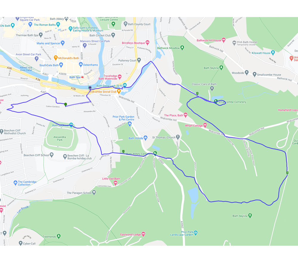
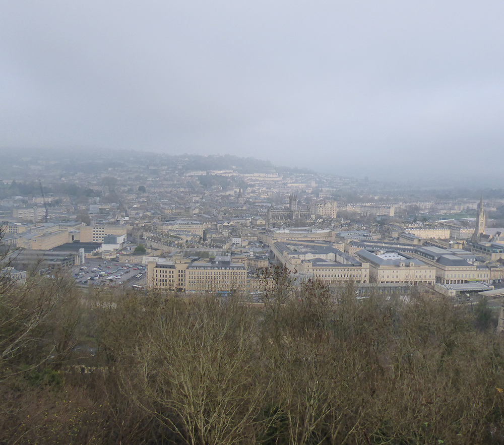
A great little walk for any visitors to Bath as it starts and ends at the bus/train station. There are a couple of steep hills which will reward you with some terrific views of the city.
Exploring the wheel again ..
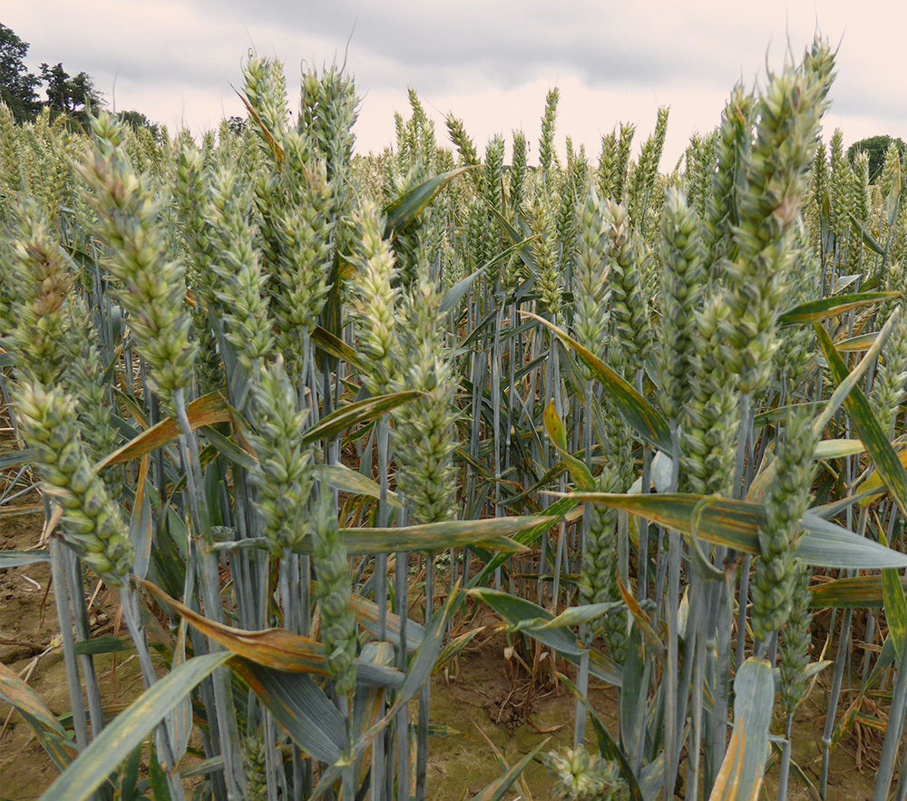
This is one of our most familiar walks. It’s become a tradition to lead this route as the first one of the year with Bath Ramblers (you can see details in previous posts here, here and here. I’m pretty sure we did it in 2019 too but strangely there’s no write-up.) We are used to seeing it bare and chilly so it had quite a different feel overgrown with July foliage. The path through the nature reserve was clear though and the tracks were not too muddy considering the recent rains.
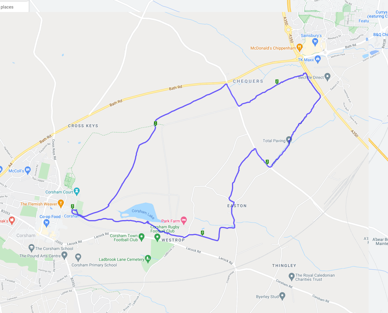
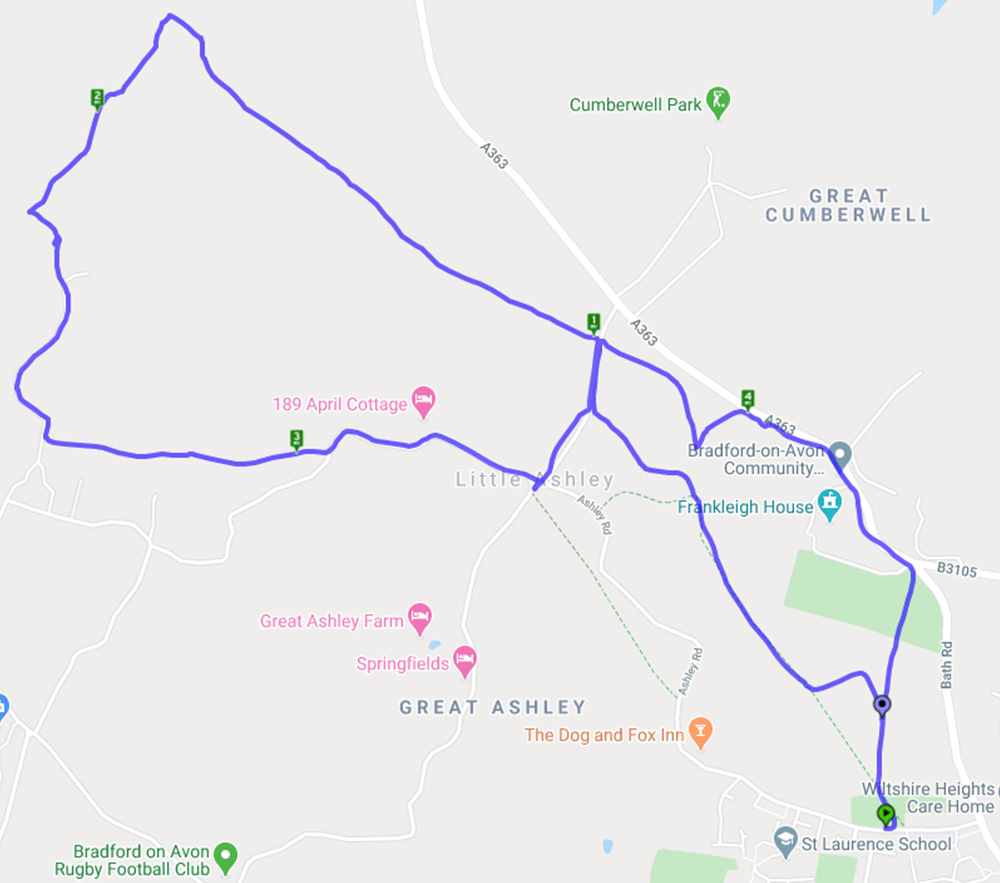
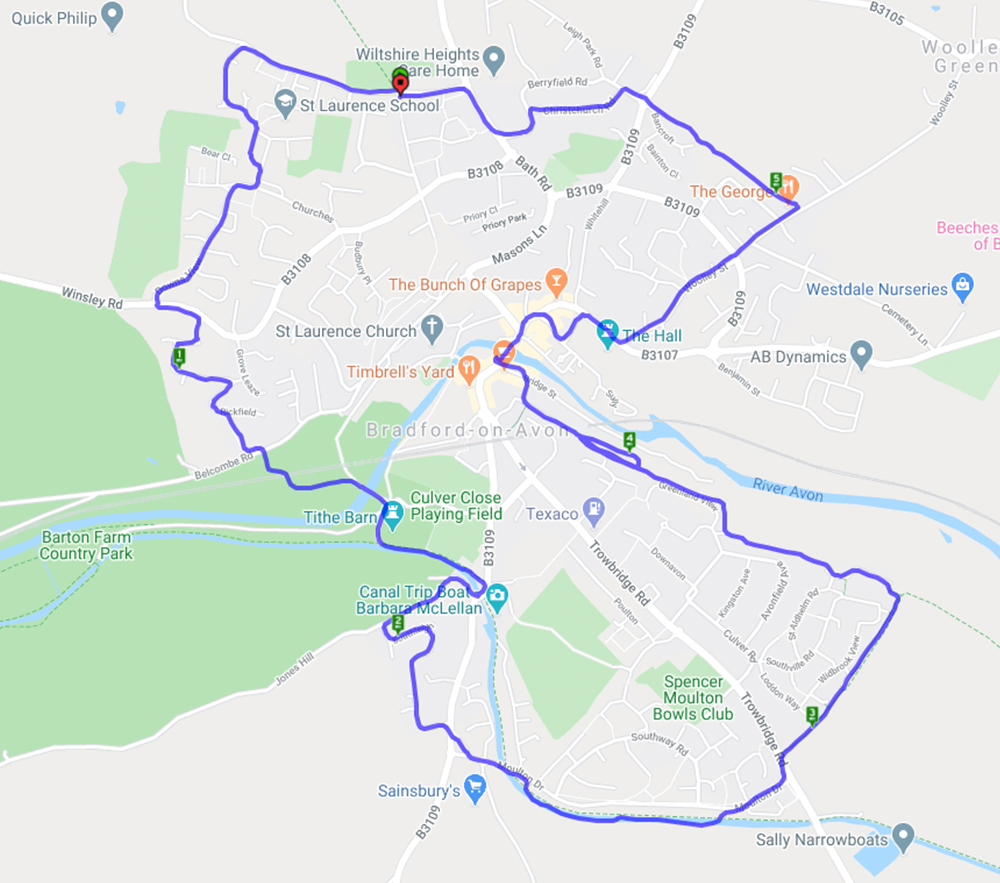
Well it’s been a while for obvious reasons but we finally got out for a walk. This is part of the Bradford-on-Avon walking wheel which consists of an inner and outer circle connected by 8 radiating ‘spokes’. The inner circle is 5.7 miles and takes in the outskirts of BoA town. You can buy a laminated map of the whole wheel at BoA library or tourist information. The routes are marked very well by colour co-ordinated markers on lamp-posts etc.
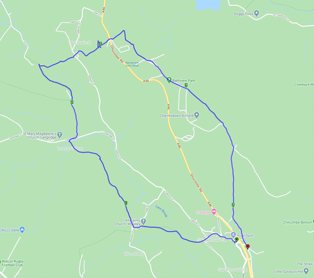
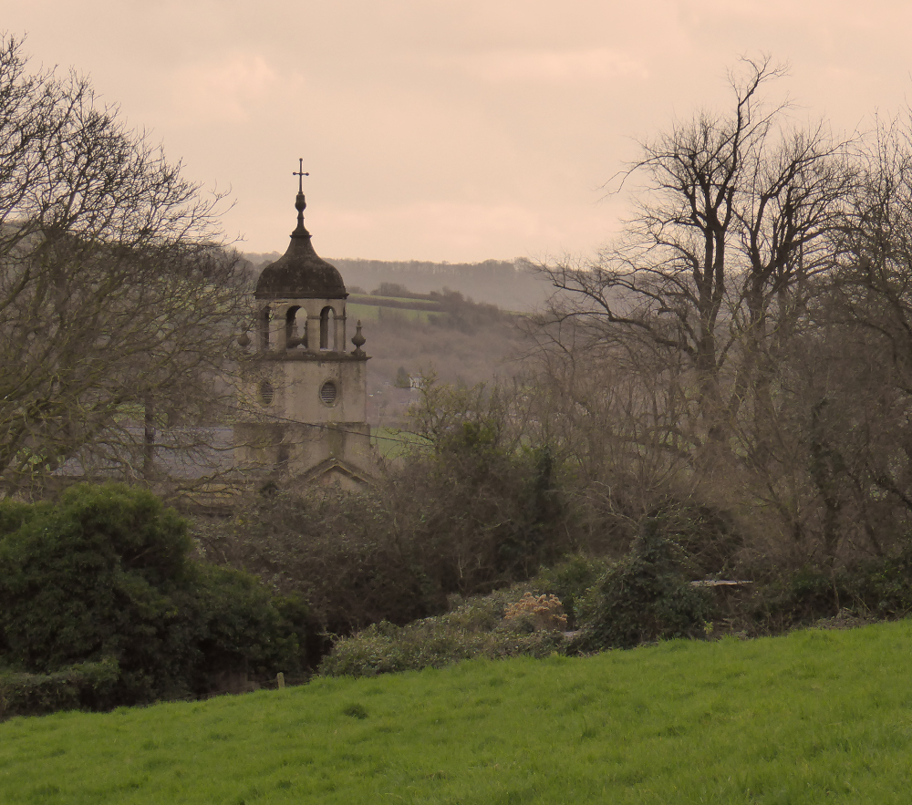
A lovely spring day for a walk which involved lots of hills giving clear and far reaching views. The walk started from Upper Swainswick and took in much of the Upper Lambrook Valley. The village of Woolley has an interesting church (Grade 1 listed) built by John Wood the Younger with an unusual cupola as shown in the photo below. After a few more hills and fields it was across the A46 where there were good views of St Catherine’s Valley and Monkswood reservoir. The walk then continued across Charmy Down – a former RAF station with its many abandoned buildings hinting at a bygone age – and back under the A46 to the start.
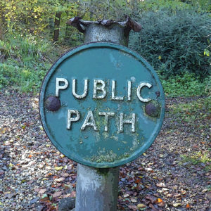
An interesting article about saving our rights of way:
Walkers urged to help save historic footpaths before 2026 deadline
Happy New Year from Bath Ramblings
Recent Comments