Upper Swainswick – 8.3.20

March 9, 2020 at 2:57 pm
Walkmeter Map

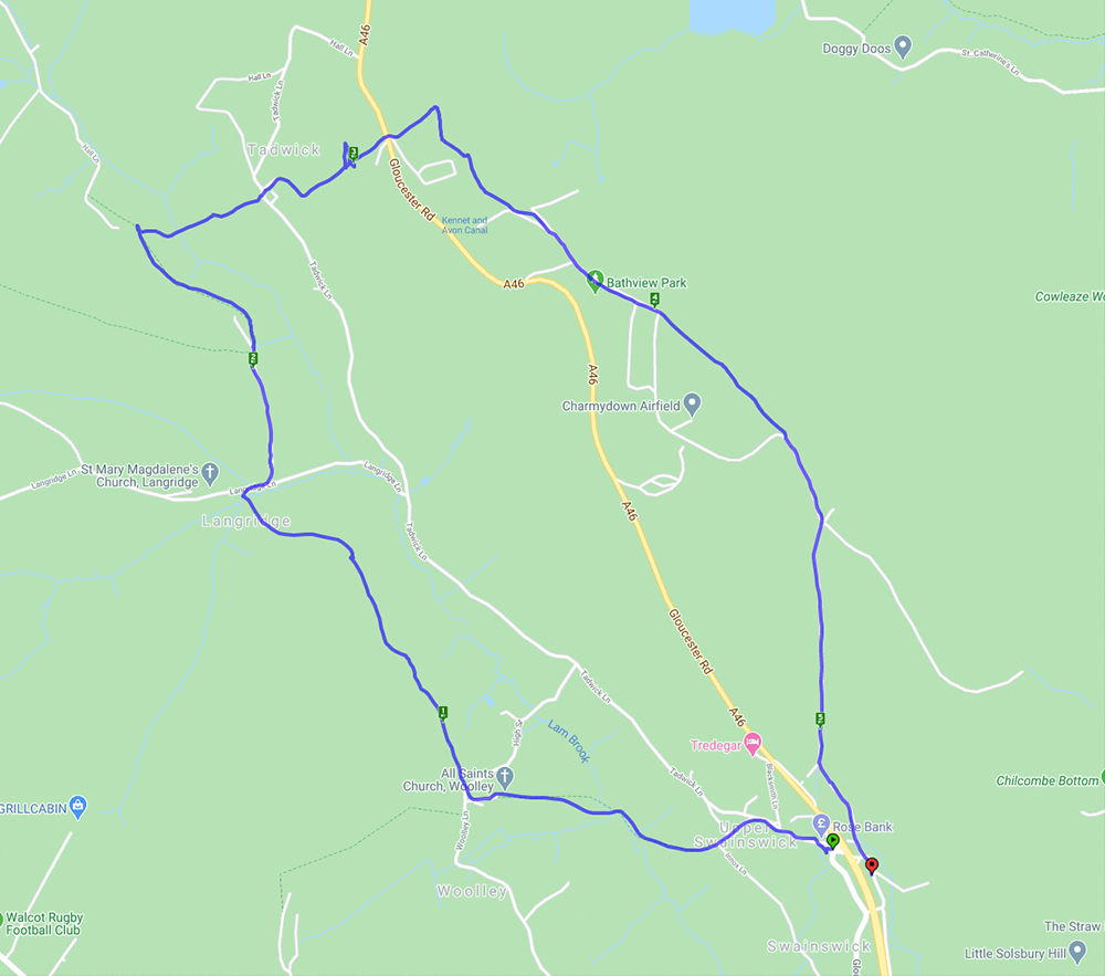
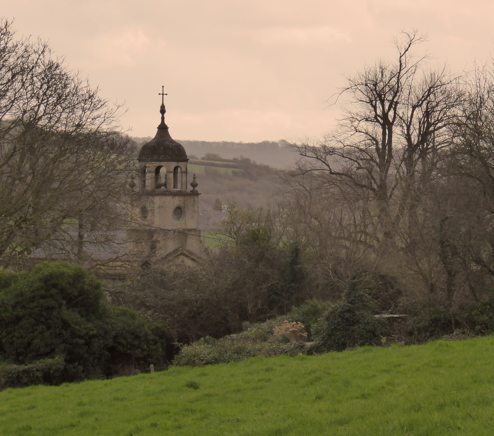
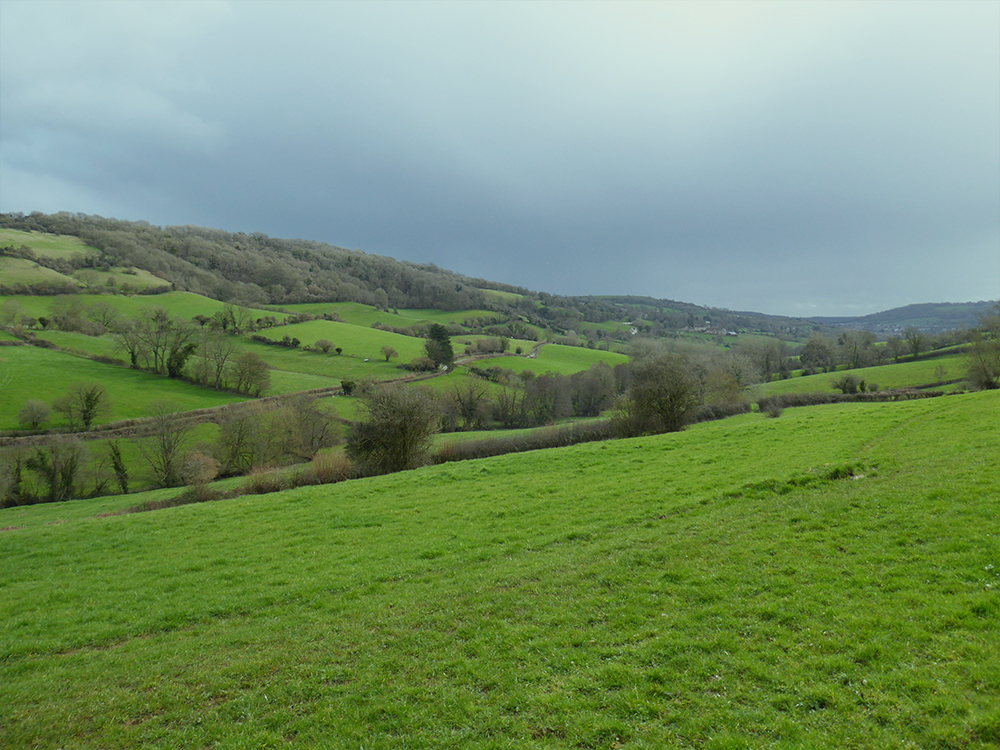
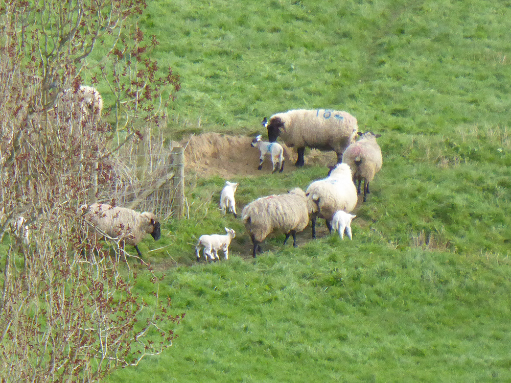
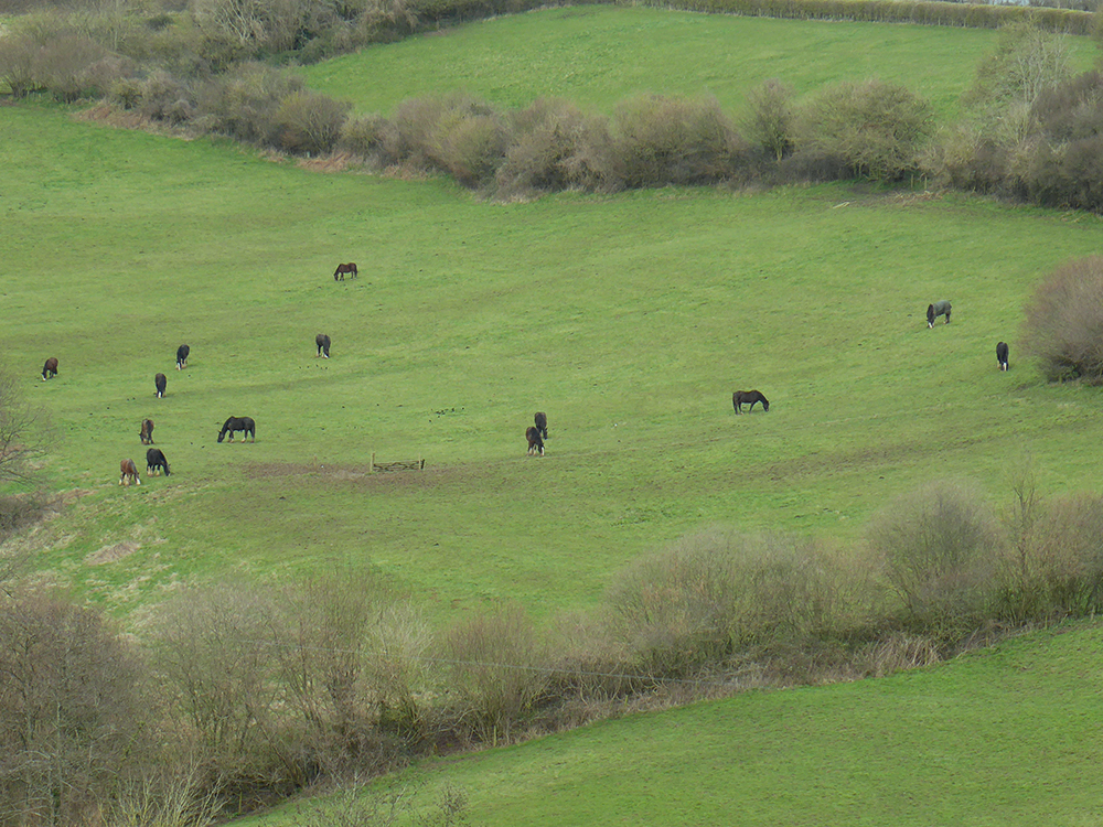
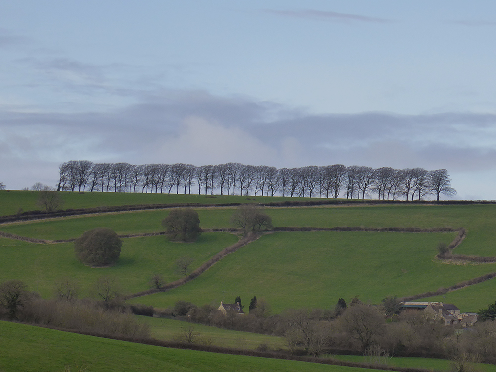
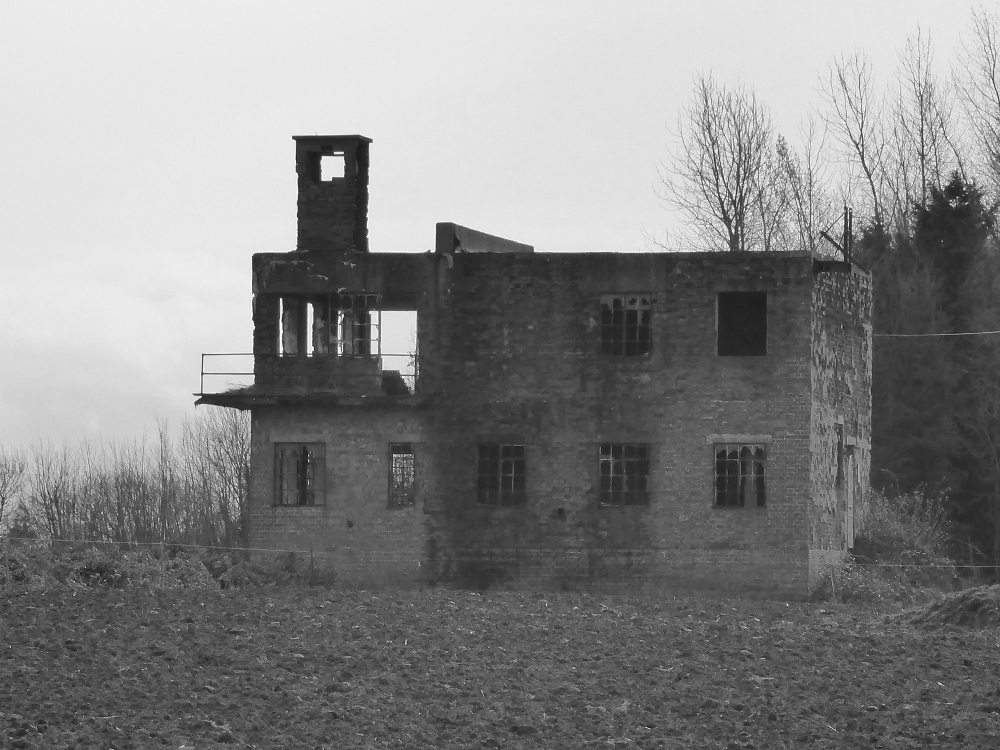
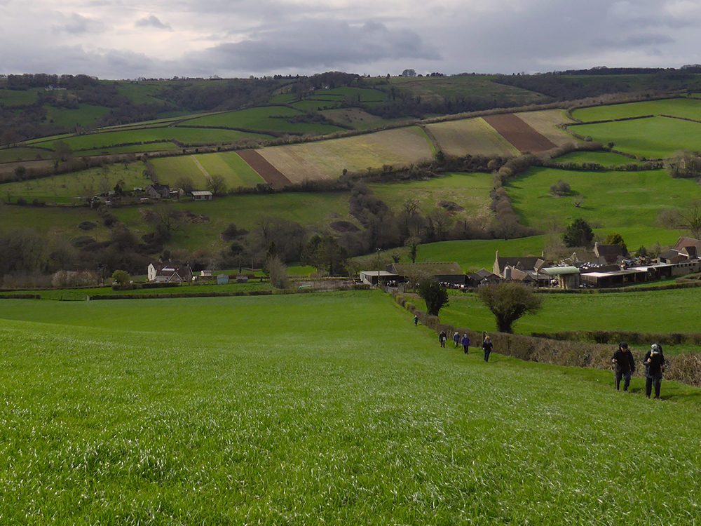
A lovely spring day for a walk which involved lots of hills giving clear and far reaching views.  The walk started from Upper Swainswick and took in much of the Upper Lambrook Valley. The village of Woolley has an interesting church (Grade 1 listed) built by John Wood the Younger with an unusual cupola as shown in the photo below. After a few more hills and fields it was across the A46 where there were good views of St Catherine’s Valley and Monkswood reservoir. The walk then continued across Charmy Down – a former RAF station with its many abandoned buildings hinting at a bygone age –  and back under the A46 to the start.

All Saints Church, Woolley
The rolling hills of Langridge
A gnarly old tree split in half by lightning by the looks of it
A sure sign of spring – tiny lambs
Another lovely wizened old tree trunk
Fields full of cows are a usual site around here – less common is a herd of horses
A closer view of one handsome (if muddy) chap
The iconic row of trees at Freezinghill Lane. Around Bath this view is very familiar from many spots – including our regular walks up to Brown’s Folly (you can see them on the horizon on the first photo of this post)
Abandoned Control Tower on the former Royal Air Force station at Charmy Down
It was a long uphill slog to our lunch spot but the views were worth it.
On the distant hillside the rectangular plots are plowed meadows ready for growing wildflowers for seeds on Manor Farm
One of many charming old footpath signs we come across.
Tags: