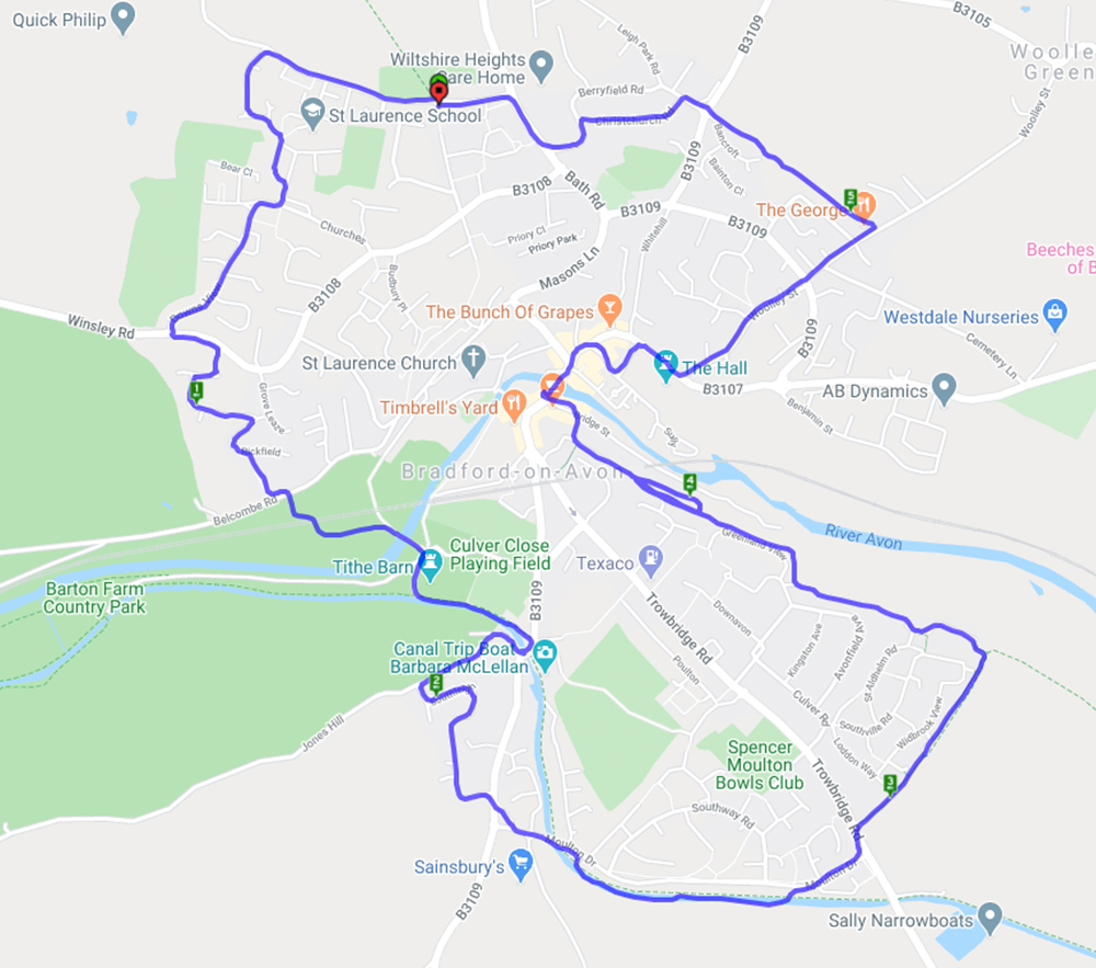
Bradford-on-Avon Walking Wheel (spokes 7 and 8) – 26.9.22
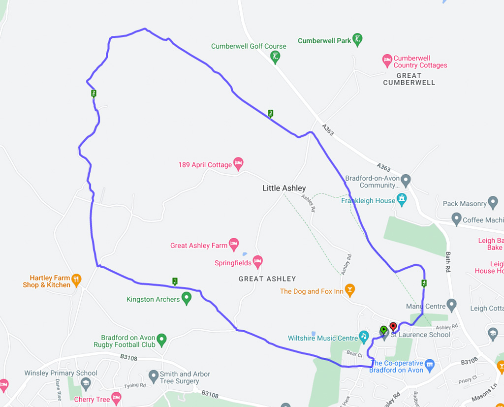


Well it’s been a while for obvious reasons but we finally got out for a walk. This is part of the Bradford-on-Avon walking wheel which consists of an inner and outer circle connected by 8 radiating ‘spokes’. The inner circle is 5.7 miles and takes in the outskirts of BoA town. You can buy a laminated map of the whole wheel at BoA library or tourist information. The routes are marked very well by colour co-ordinated markers on lamp-posts etc.
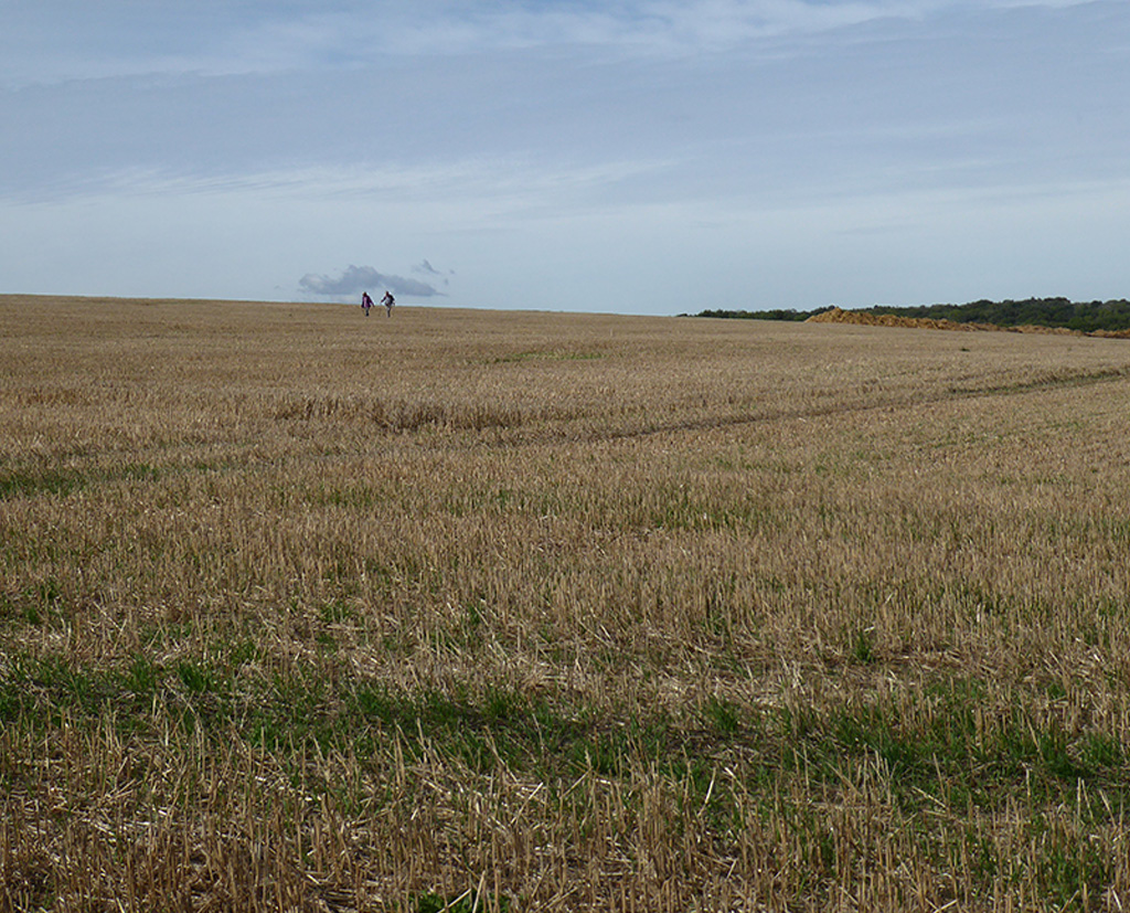
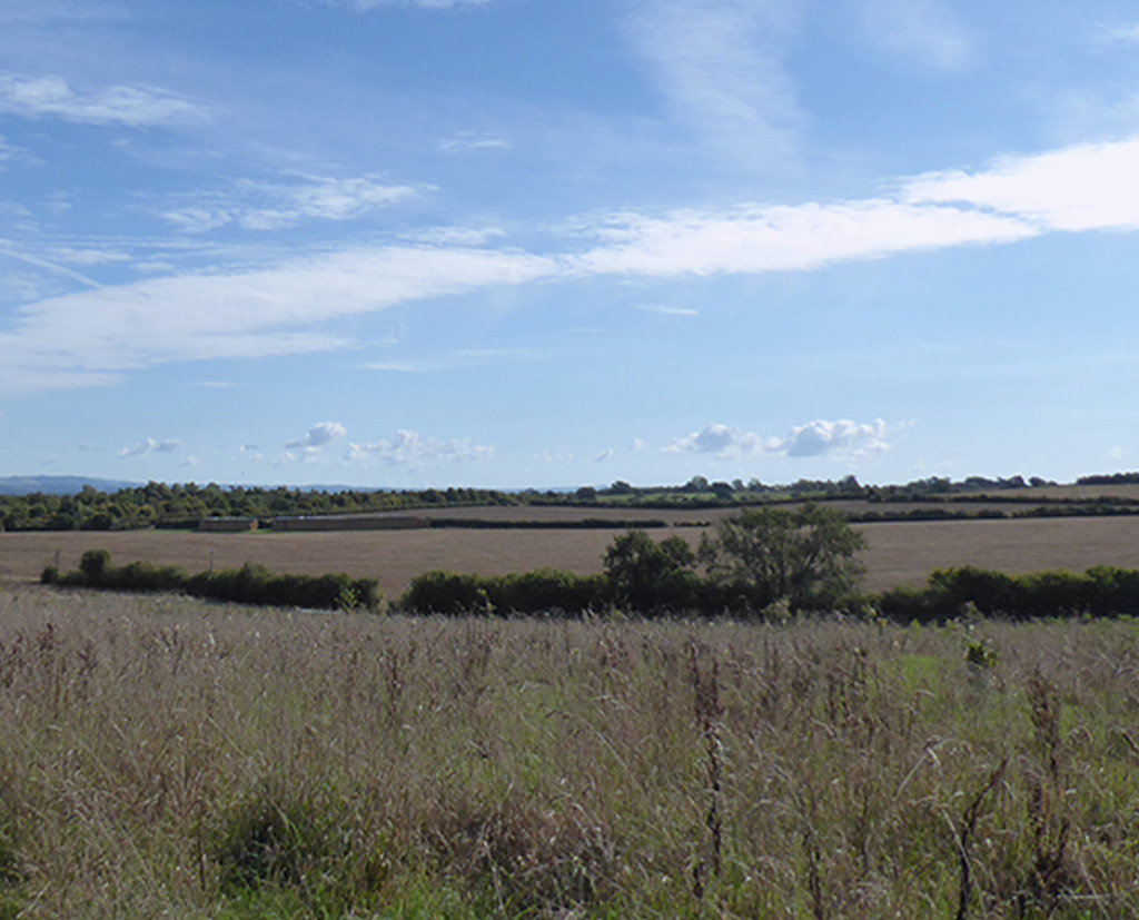
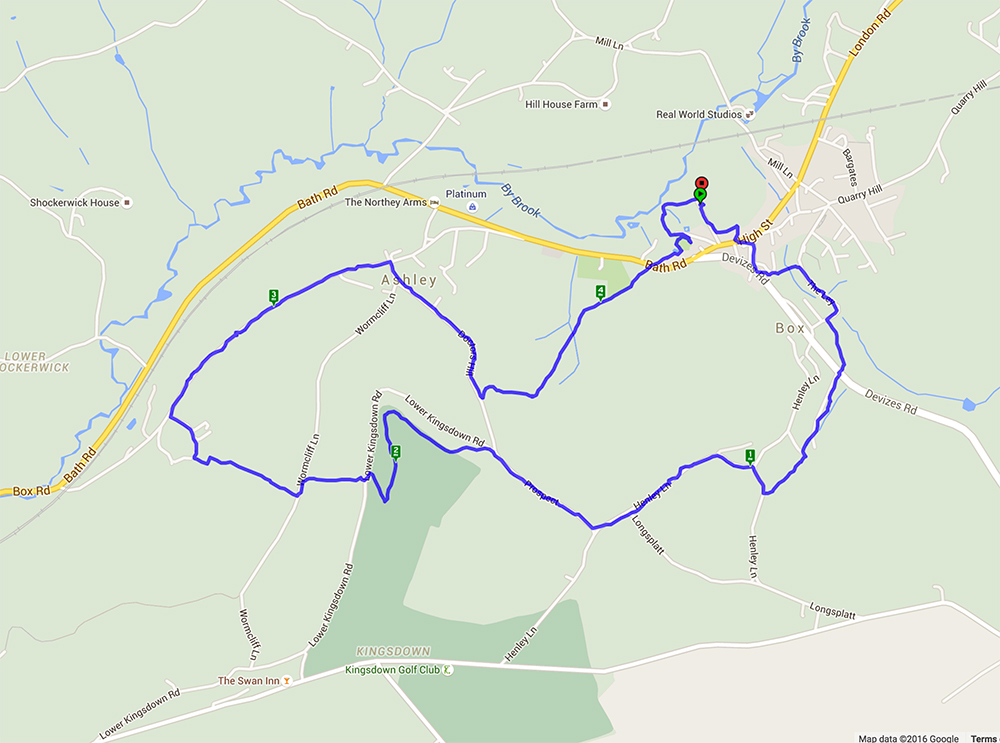
This walk started from Selwyn Hall car park and went through part of Box – where there is a house called The Old Sweet Factory although no details are known about its history. Crossing the High Street the walk went through Henley then cut across Kingsdown Golf Course before returning through Ashley. It was a glorious day with lovely summer views across the rolling Wiltshire country side and the drinks break in a wonderful flower meadow was just like old times.
A gloriously sunny day for a gentle walk starting in the village of Poulshot before crossing fields of rapeseed and meadows full of buttercups and noting the Wadworths shire horses in their summer holiday field, to the edge of Devizes. From here the towpath along the Kennet and Avon canal was reached and turning west the walk went along the canal and the impressive Caen Hill Locks. Leaving the canal the walk crossed back over the A361 and through more fields before reaching Poulshot again.
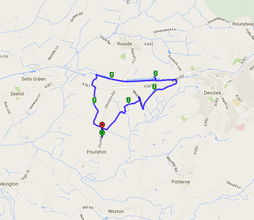
5.61 mile walk starting and ending at Poulshot and taking in Caen Hill Locks
Pensford and Stanton Drew via the Forest of Avon Community Forest Path
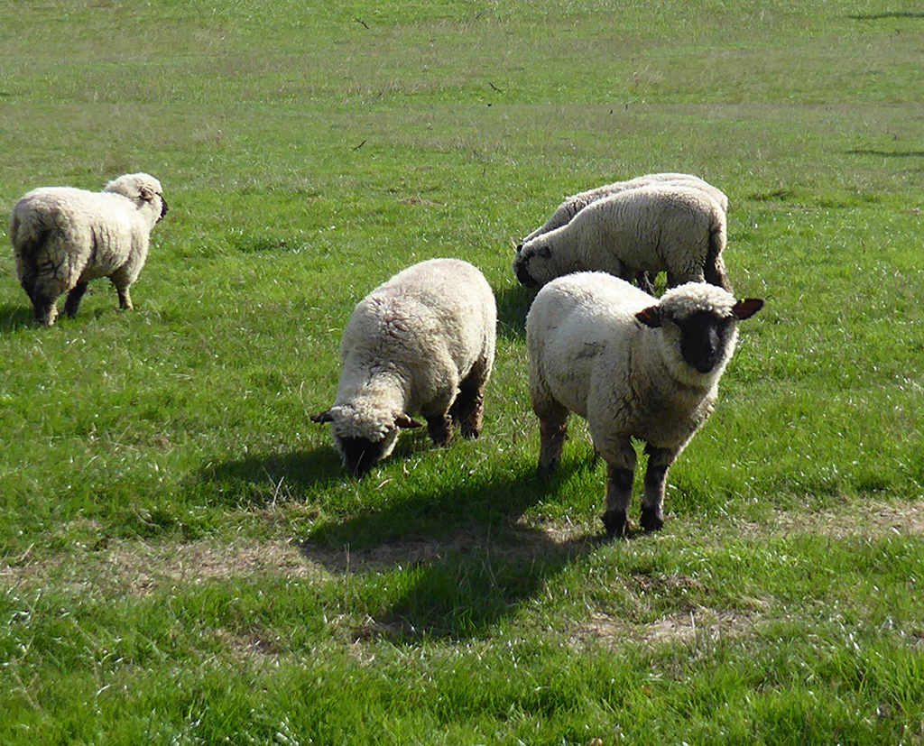
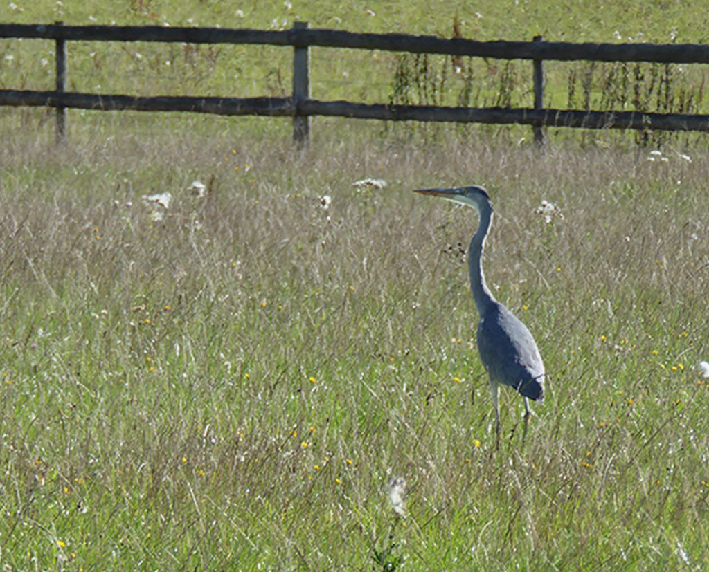
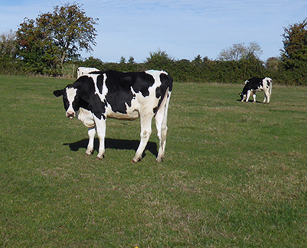
A largely level walk starting from Pensford through Upper Stanton Drew and onward to Stanton Drew to walk around the Stone Circle. Saw a wide variety of animals – a lovely litter of pigs on the Free Range pork farm, friendly donkeys, rather unfriendly goats and some rather large bulls. Walked past the remnants of the coal industry although the winding house and the bath house are now private residences. The return route to Pensford was under the very impressive viaduct. The fields were being planted with this years crops and with the fine weather they will hopefully do well.
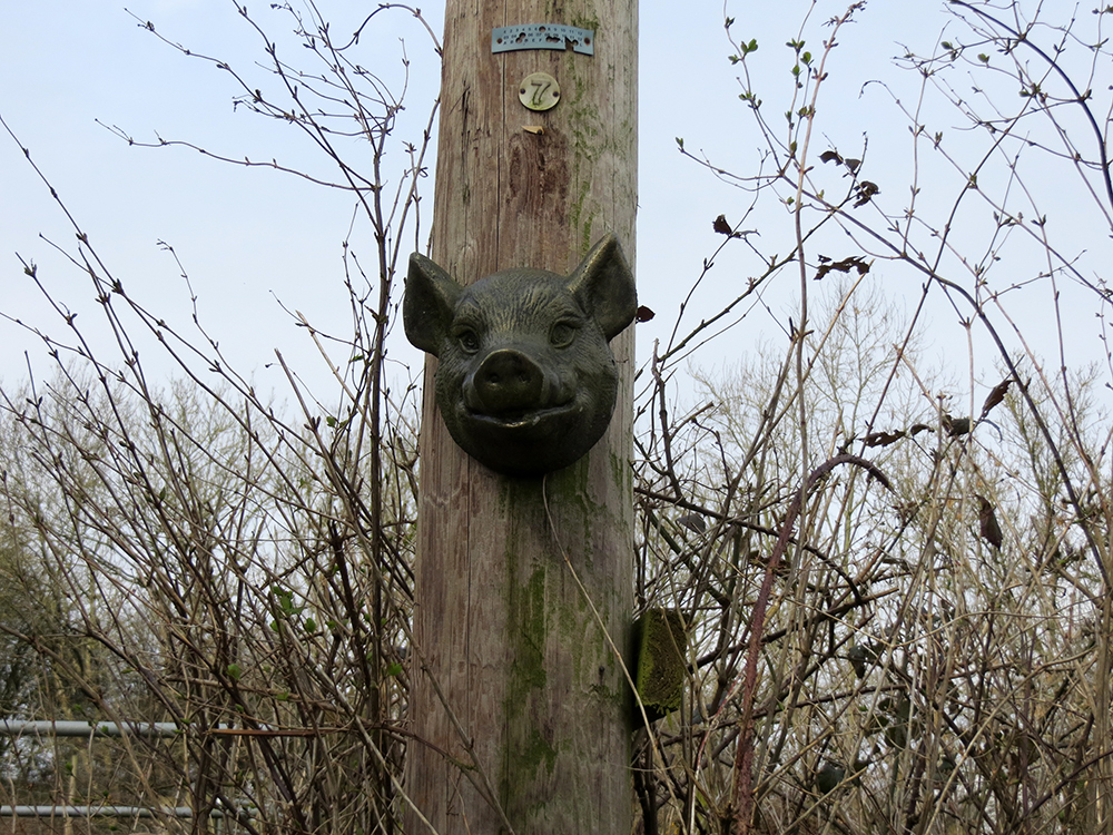
In case the squealing didn’t give you a hint
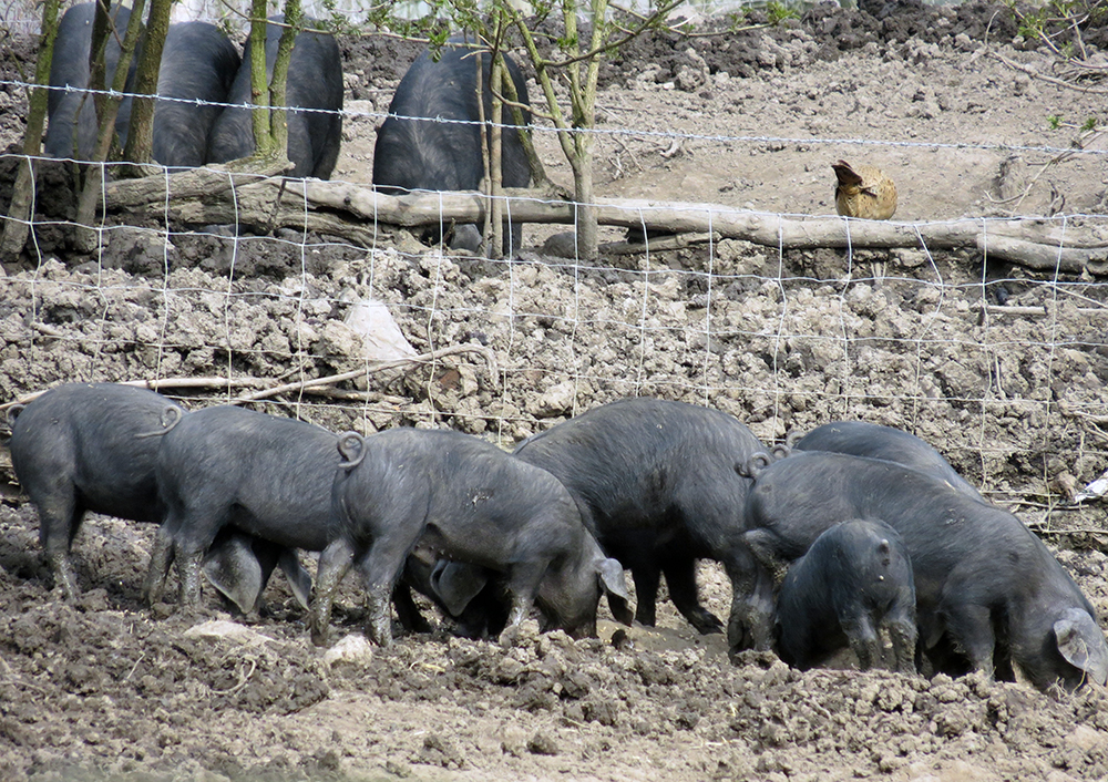
piggy dinner time
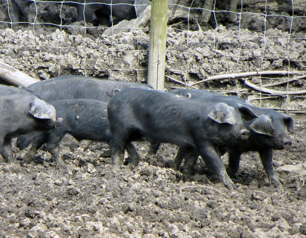
Happy pigs
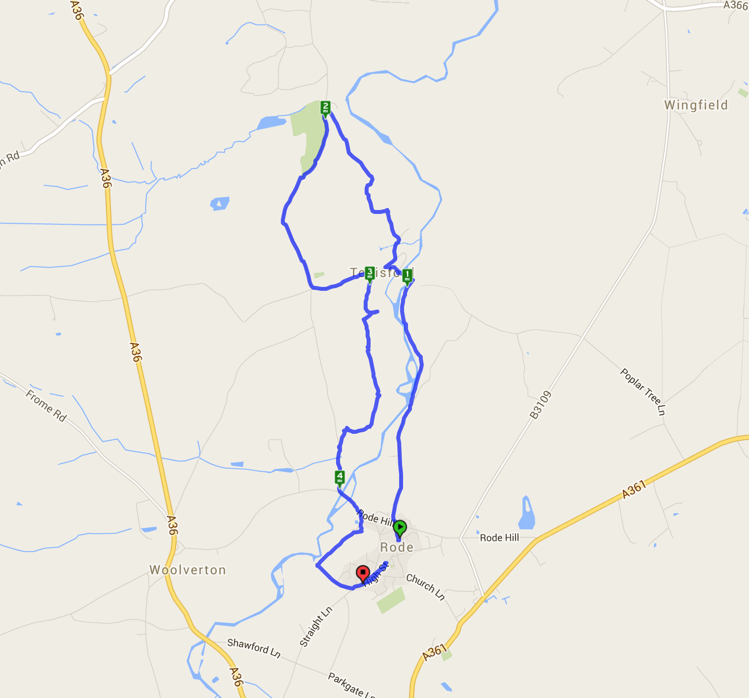
This walk started from the village green in Rode and went through lovely gentle countryside with good views. The River Frome meandered along and looked very peaceful. One interesting feature is Tellisford Mill – a micro hydro power station on the river. There were a lot of pheasants both wandering free and in their pens. Long before Rode was reached at the end of the walk there were views of the village church which has two spires. The walk back through the village passed a chocolate factory – a good excuse for a return visit!
You can read some more details of this walk in Nigel Vile’s column in the Chronicle – click here for that
A relatively easy walk for the longest day of the year. Although it was the first day of summer, someone forgot to tell the clouds which were present most of the time. Starting from the station car park in Bradford-on-Avon the walk was along the river towards Avoncliff and back down the canal. The canal was busy with boats and some ducklings and a lot of people were out and about both on foot and bike.

(oops – left the tracker going on the drive home – so ignore the straight line from BoA to Bath – that’s not part of the walk!!)
<iframe src=’https://connect.garmin.com/activity/embed/810749085′ width=’465′ height=’500′ frameborder=’0′></iframe>
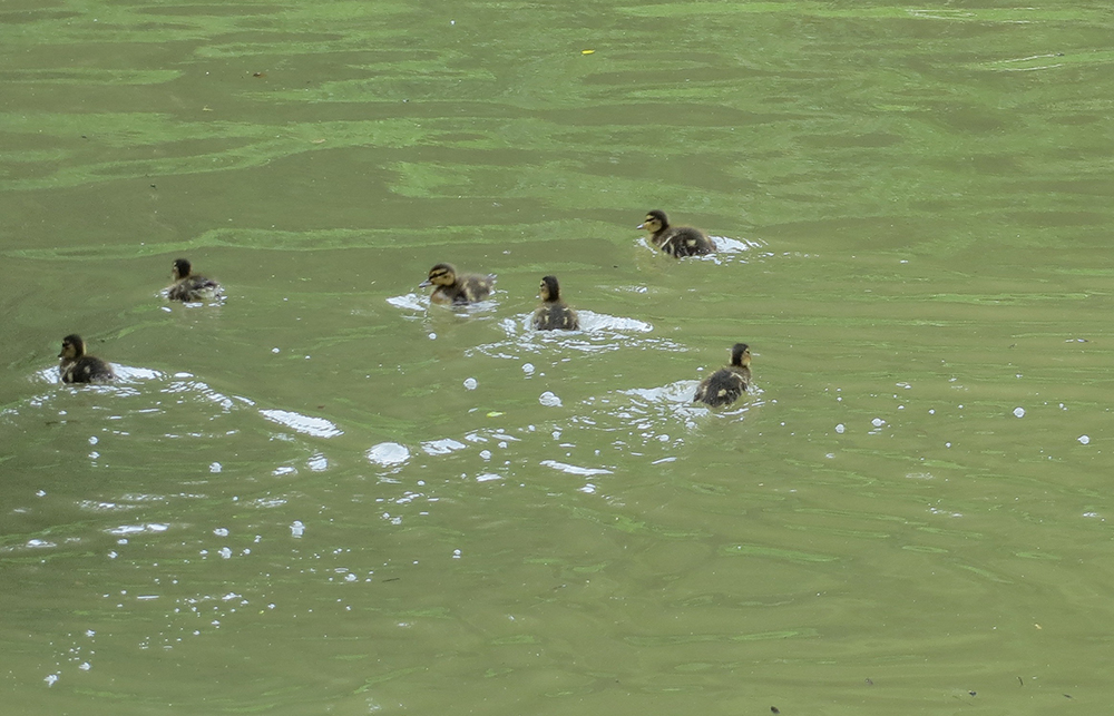
ducklings on the river
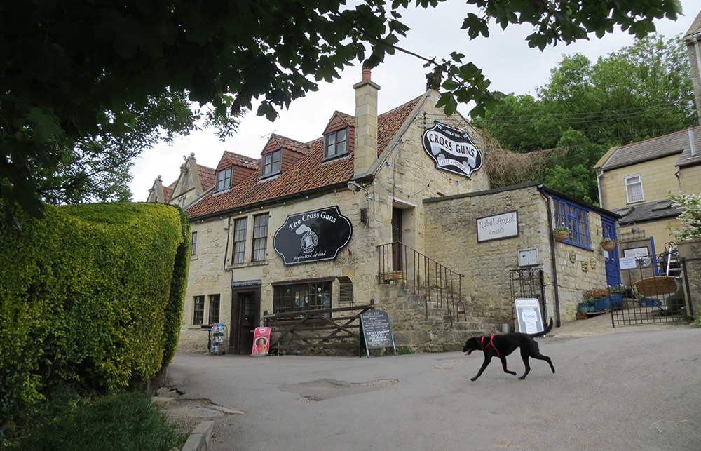
a handy stop about half way around
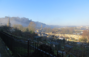
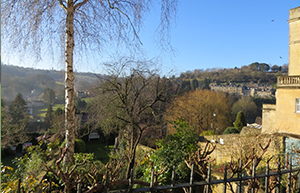
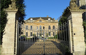
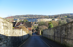
Widcombe area of Bath
This is a short easy walk to do if you want to explore nearer to town. There are some lovely views at certain spots and various buildings of historical interest. The whole route is on either roads or pavements so no danger of mud etc. If you fancy a stroll and don’t want to travel too far this is perfect. If you like a good garden centre then at the bottom of Forefield Rise turn right and you will find Prior Park Garden Centre – a fantastic place with an amazing deli shop.
Recent Comments