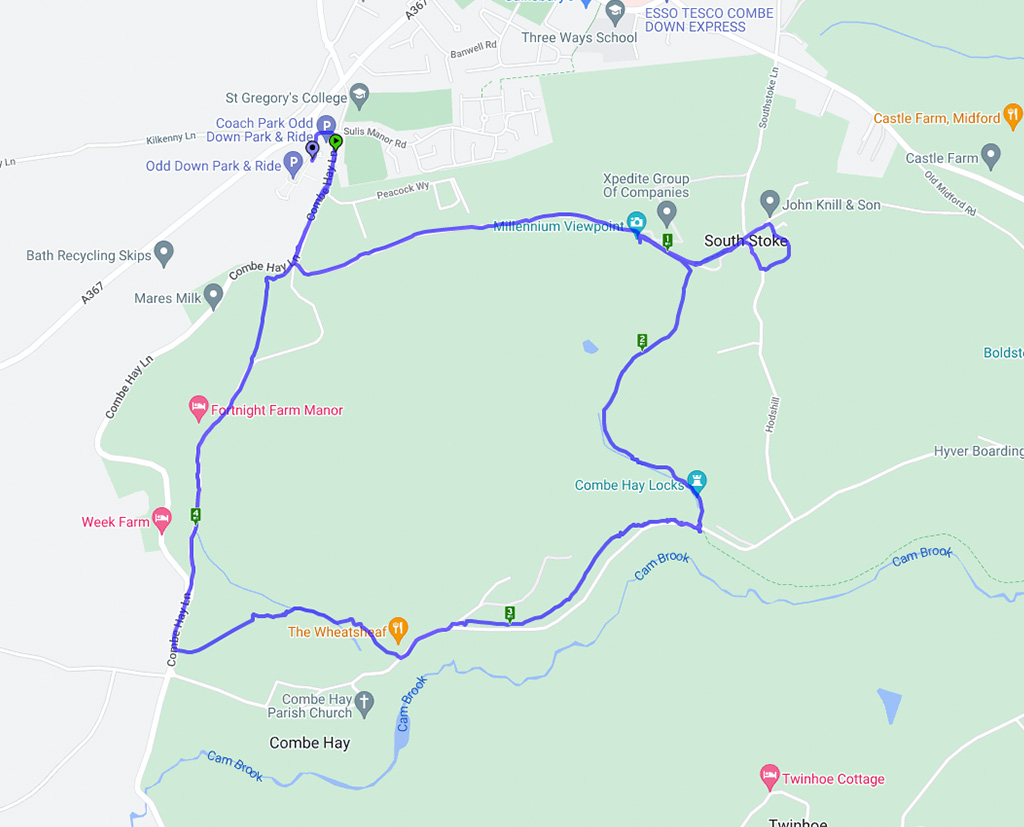
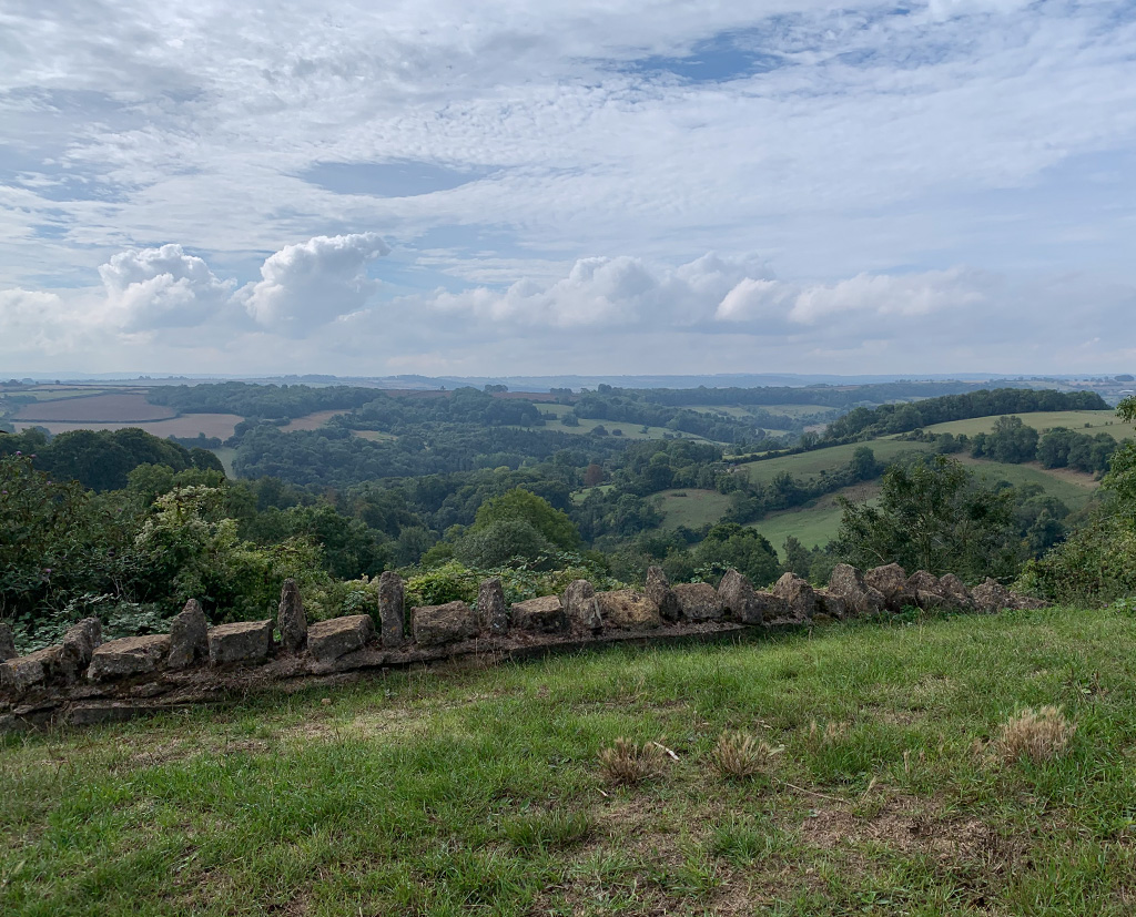
South Stoke – 11.9.22

HAPPY NEW YEAR!
Happy New Year from Bath Ramblings
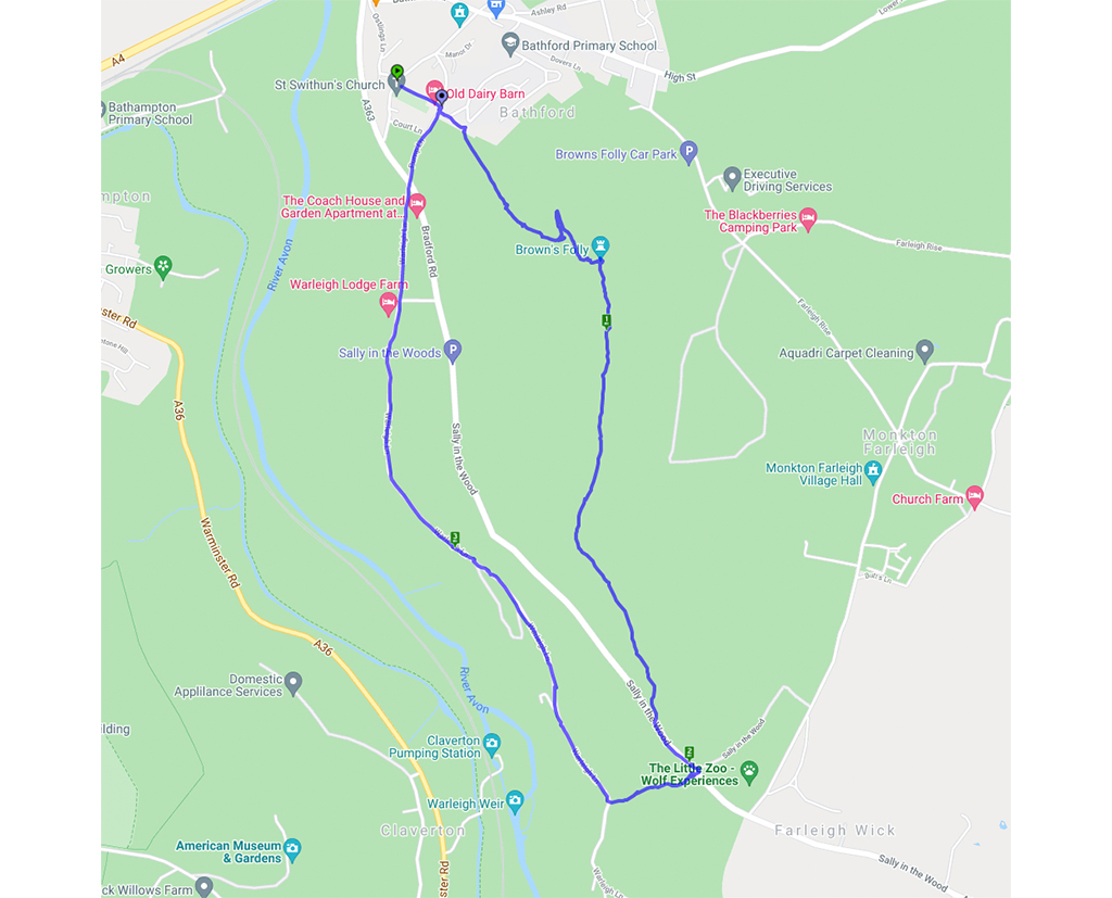
Although this wasn’t new it is the sort of walk where there is something different to spot each time. The changing seasons really do make a difference and this time the quarry was much more visible without the leaf cover on the trees. The wild garlic was everywhere and the Hart’s Tongue Ferns were looking splendid amongst the mossy growth along the stream. Another difference was a large herd of cows in a field which has not had them in before – fortunately they were more interested in chewing the cud than worrying the walkers.
This is a walk we’ve done several times before – you can see previous write-ups here and here
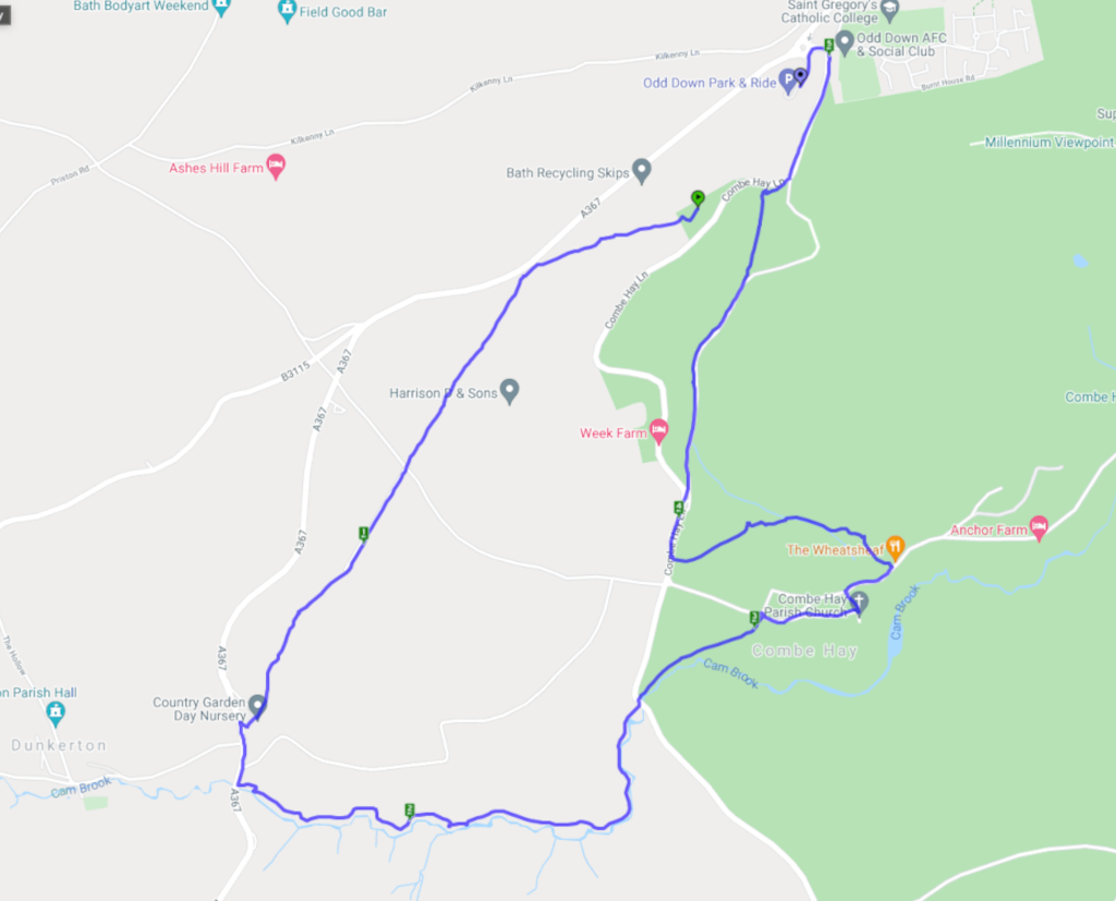
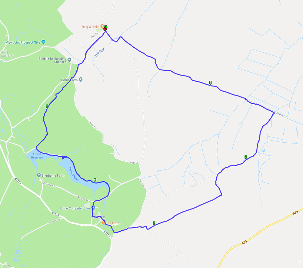
A nearly 6 mile walk starting and ending at the Ring O Bells pub in Hinton Blewett.
This circular walk started in Hinton Blewett on a gloriously warm morning. The fields were brown and the mud had solidified which made for interesting walking. Fortunately there were also some shady lanes and wooded paths. The walk went through the lovely little village of Litton where the reservoirs provided a good lunch stop and the opportunity to watch the birds on the water.
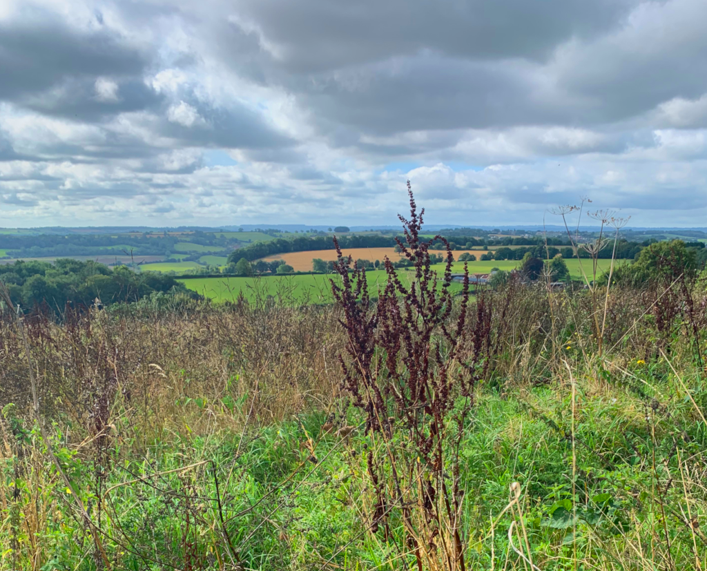
This is a walk we have done before here and here. It’s 5 miles with lots of hills (and views on a good day) and woodland.
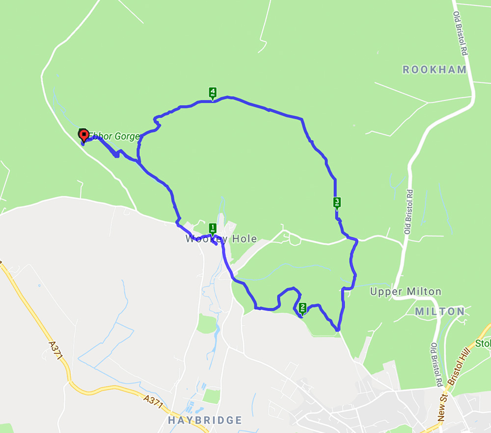
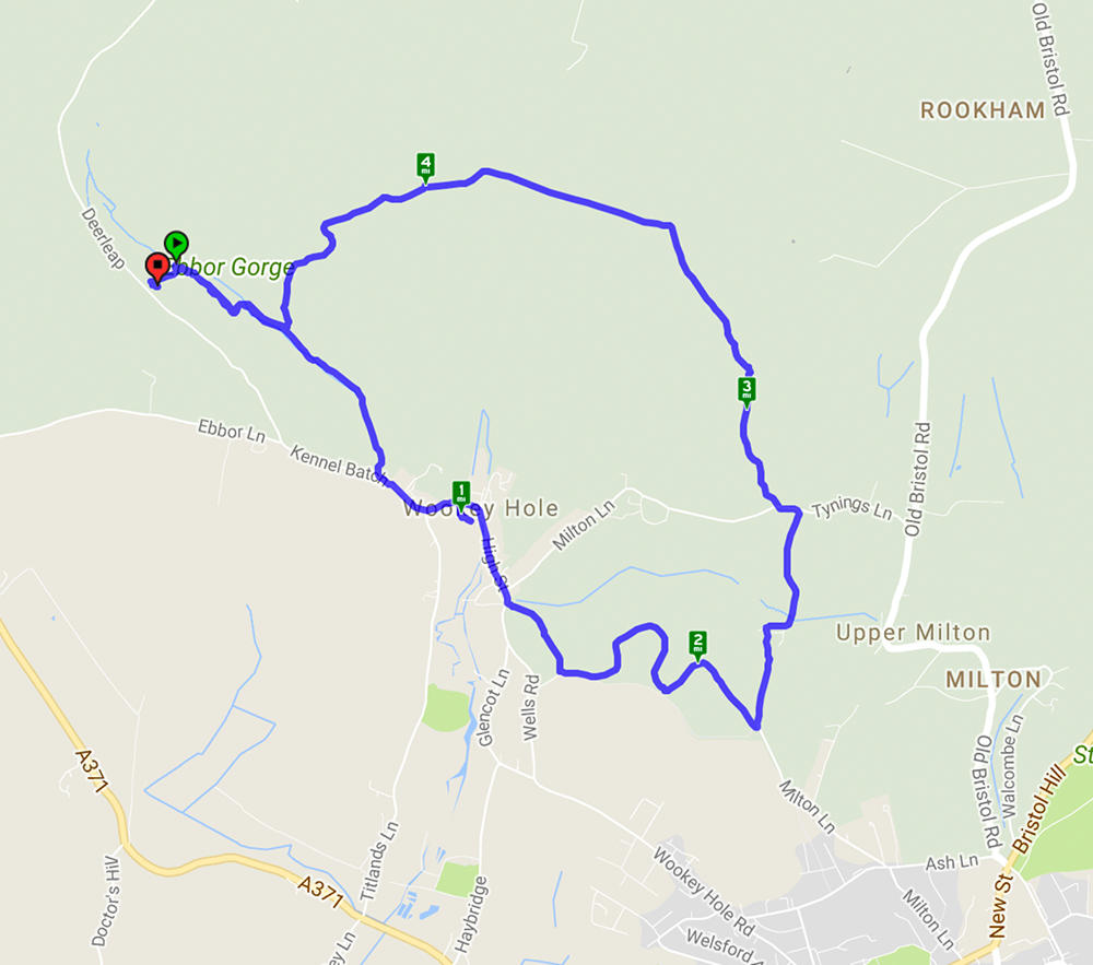
This walk started from Ebbor Gorge car park and went down to the reserve by a steep flight of steps before levelling out for the walk to Wookey Hole village. At the end of the village a path led across fields to Arthur’s Point – good views in all directions. After a stroll through woods another series of hills gave spectacular views across the Somerset levels before returning to the reserve and back to the car park. A lovely spring day with primroses, anemones, bluebells and lambs aplenty.
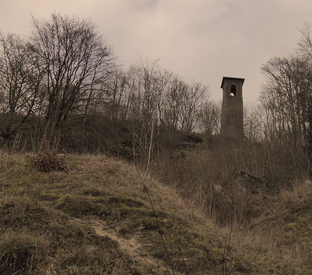
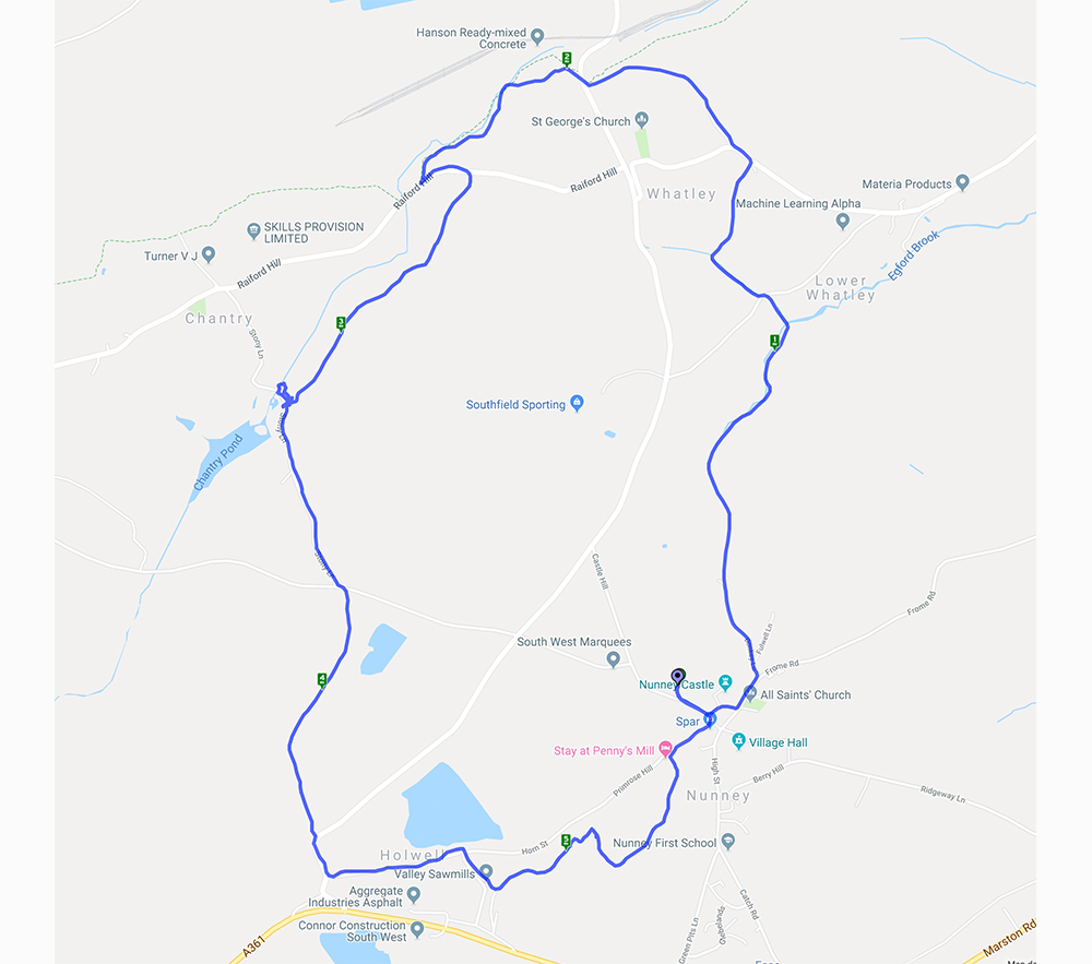
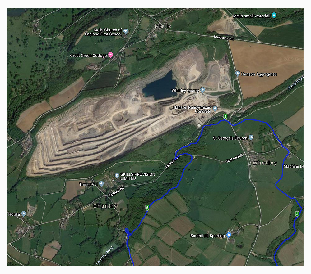
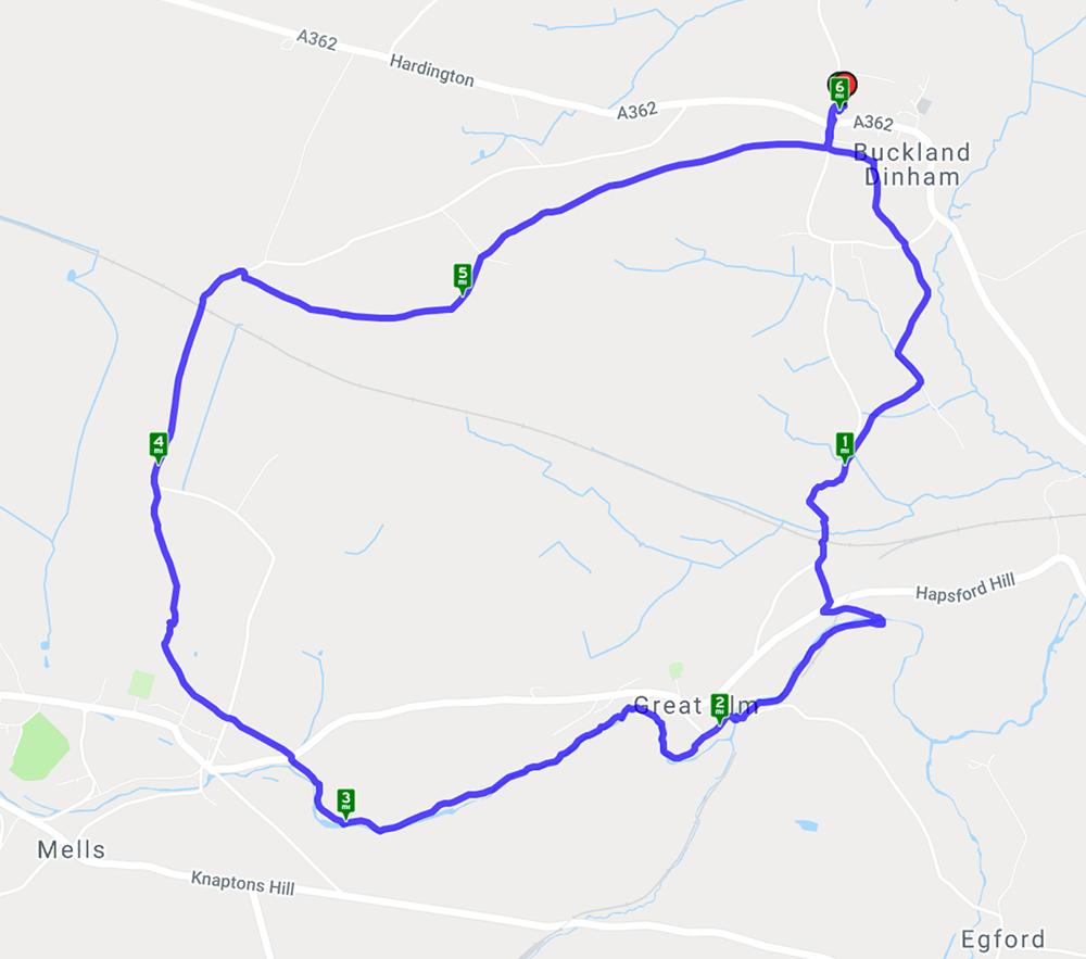
This walk starts in the village of Buckland Dinham then heads into the Somerset countryside through Great Elm and on towards Mells where the hills above the village give good views of the historic manor house and church. A good variety of walking with open fields and meadows, riverside paths and bridleways thick with mud. Signs of spring everywhere with snowdrops, daffodils in bud and wild garlic starting to appear.
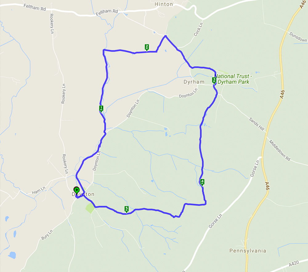
A 5.5 mile walk starting and ending in Doynton
This walk started from the car park of the sadly closed pub in Doynton and went through woods and fields before skirting Dyrham Park and heading back to Doynton. The steep hills were well worth the effort as, combined with glorious weather, the reward was far reaching views stretching as far as the Severn bridge.
Welcome to our third featured walk which is a 4.9 mile circular hike through Ebbor Gorge on the West Mendip Way. Full instructions are below.
This walk starts from Ebbor Gorge car park and heads down into the reserve before diverting into Wookey Hole village. From there it goes across fields and through woods before returning to the nature reserve and back to the car park. A challenging walk with steep flights of steps and climbs up hills but well worth the effort for the far reaching views across the Somerset countryside. The limekilns and rock formations are an interesting addition.
Recent Comments