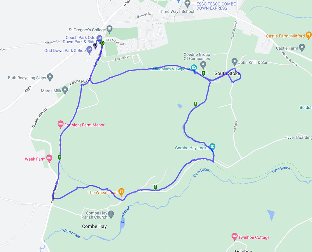
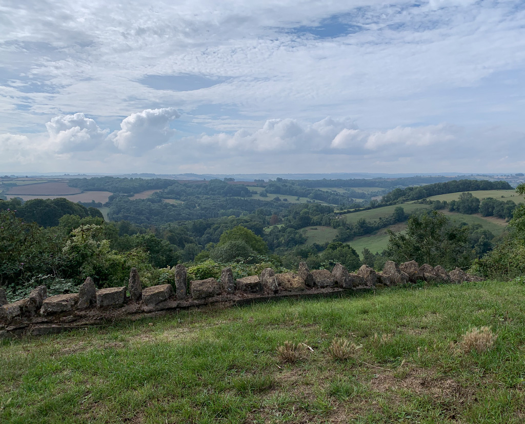
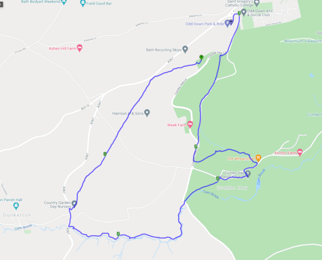
South Stoke – 11.9.22

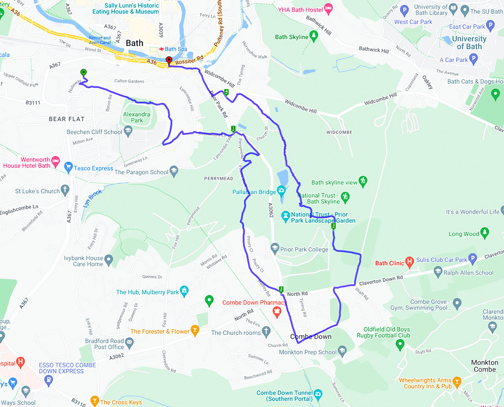
Ramblers group walks have started up again. We’ll be leading this walk in a couple of weeks (all details on the Bath Ramblers website) It’s a lovely route with great views of Bath city from Alexandra Park and the Skyline trail. At the moment the fields are full of wildflowers and we even caught a glimpse of the llamas near Prior Park. (they weren’t cooperating for photos sadly)

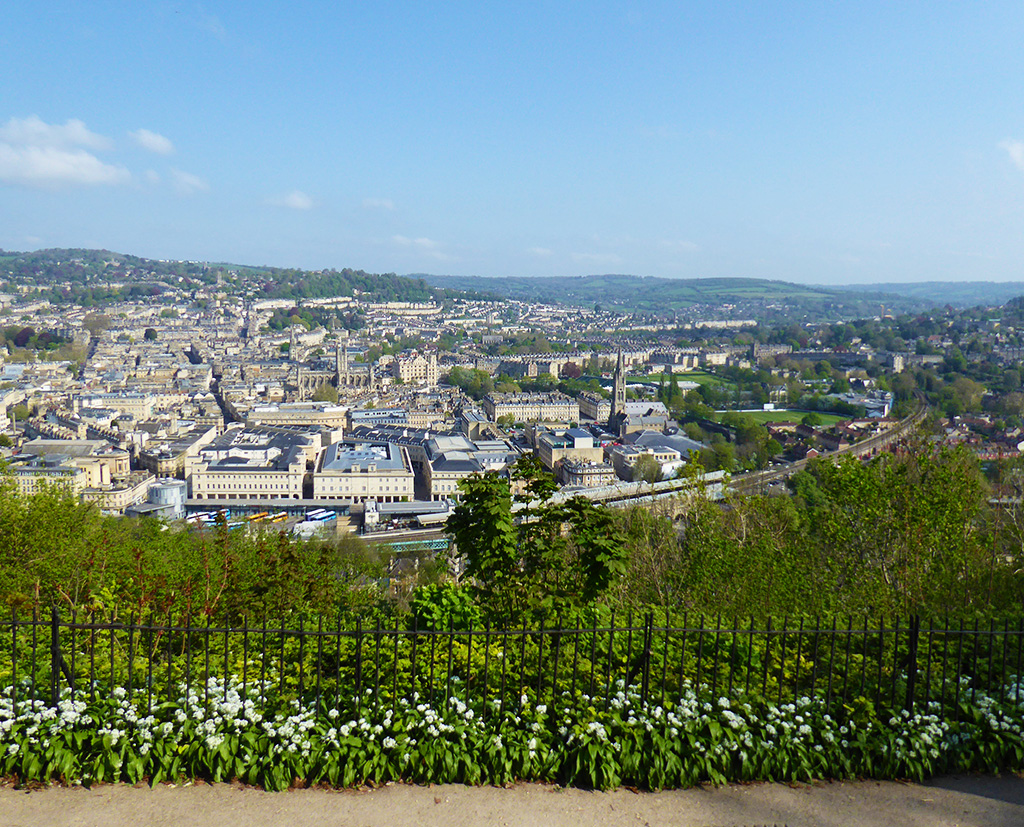
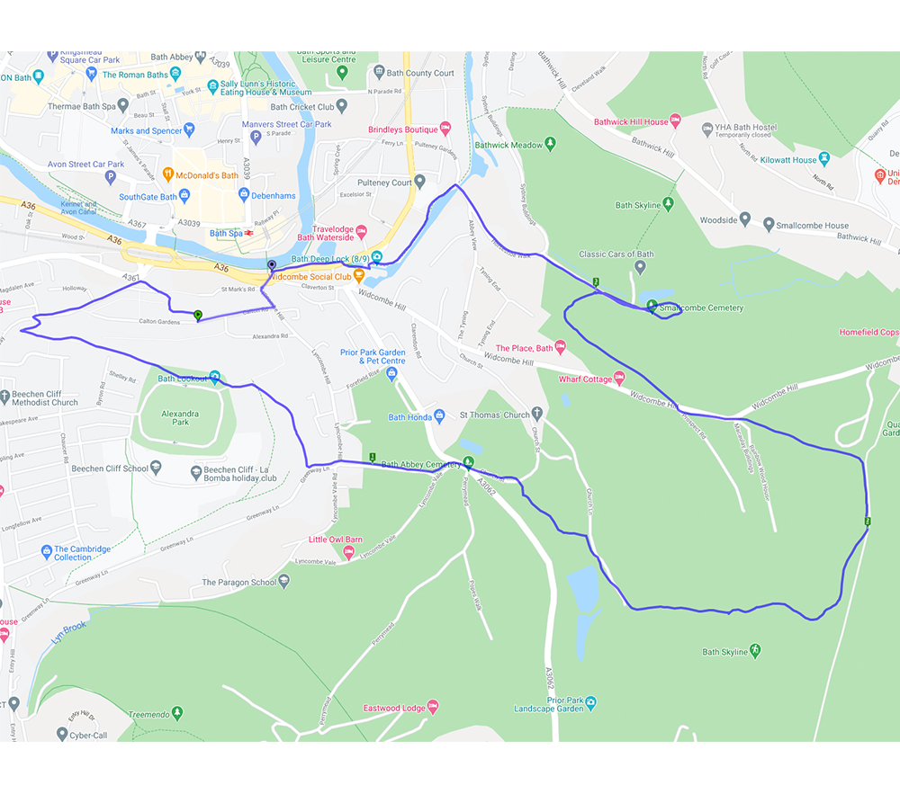
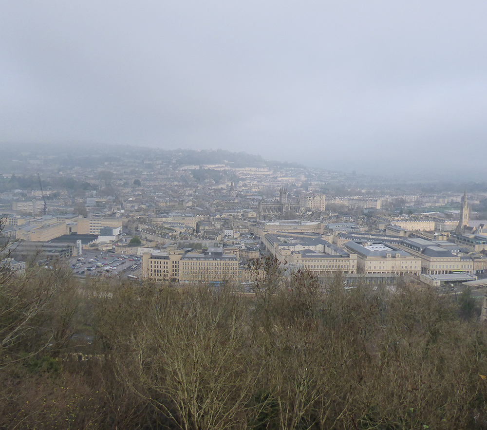
A great little walk for any visitors to Bath as it starts and ends at the bus/train station. There are a couple of steep hills which will reward you with some terrific views of the city.
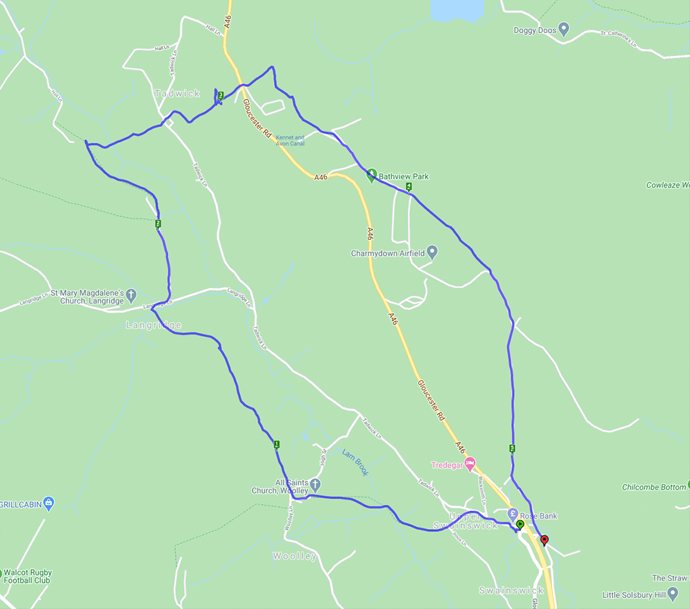
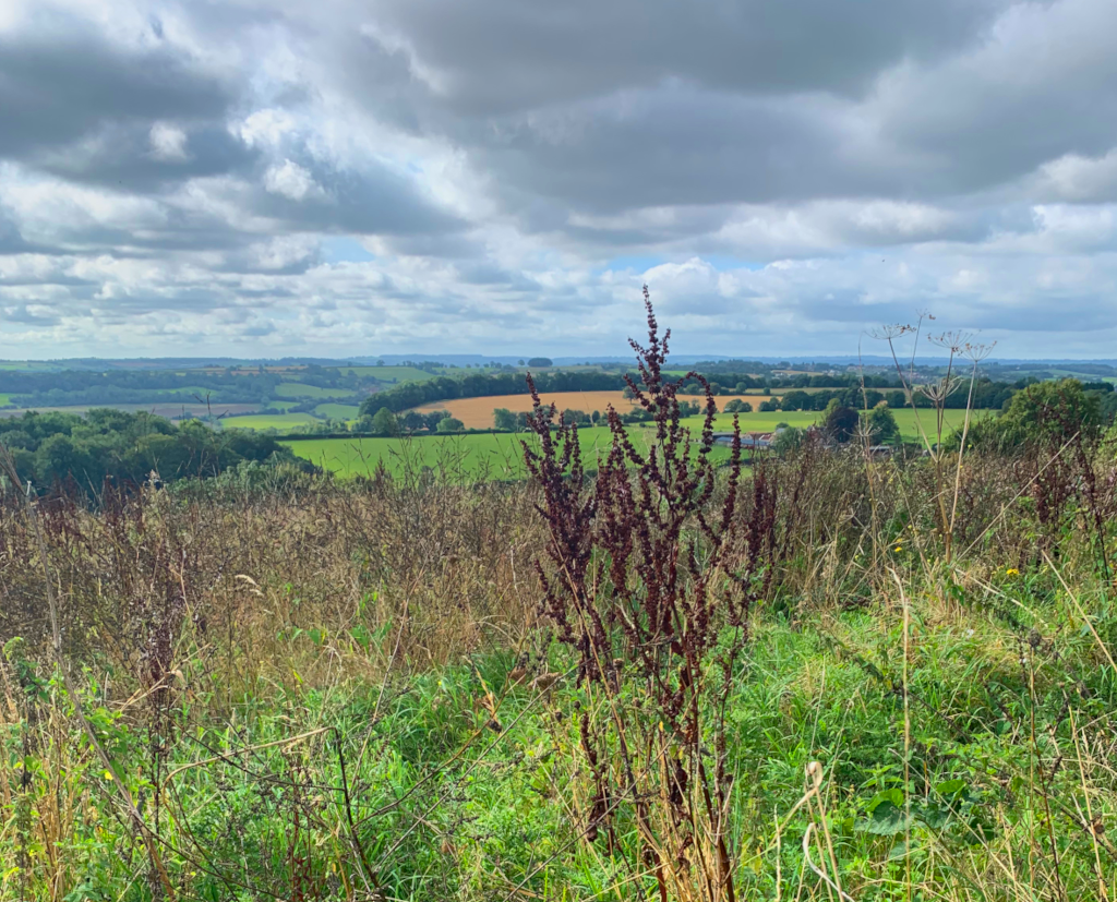
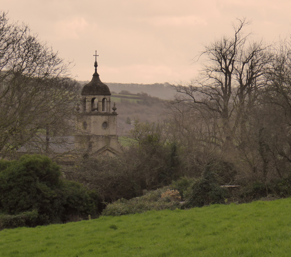
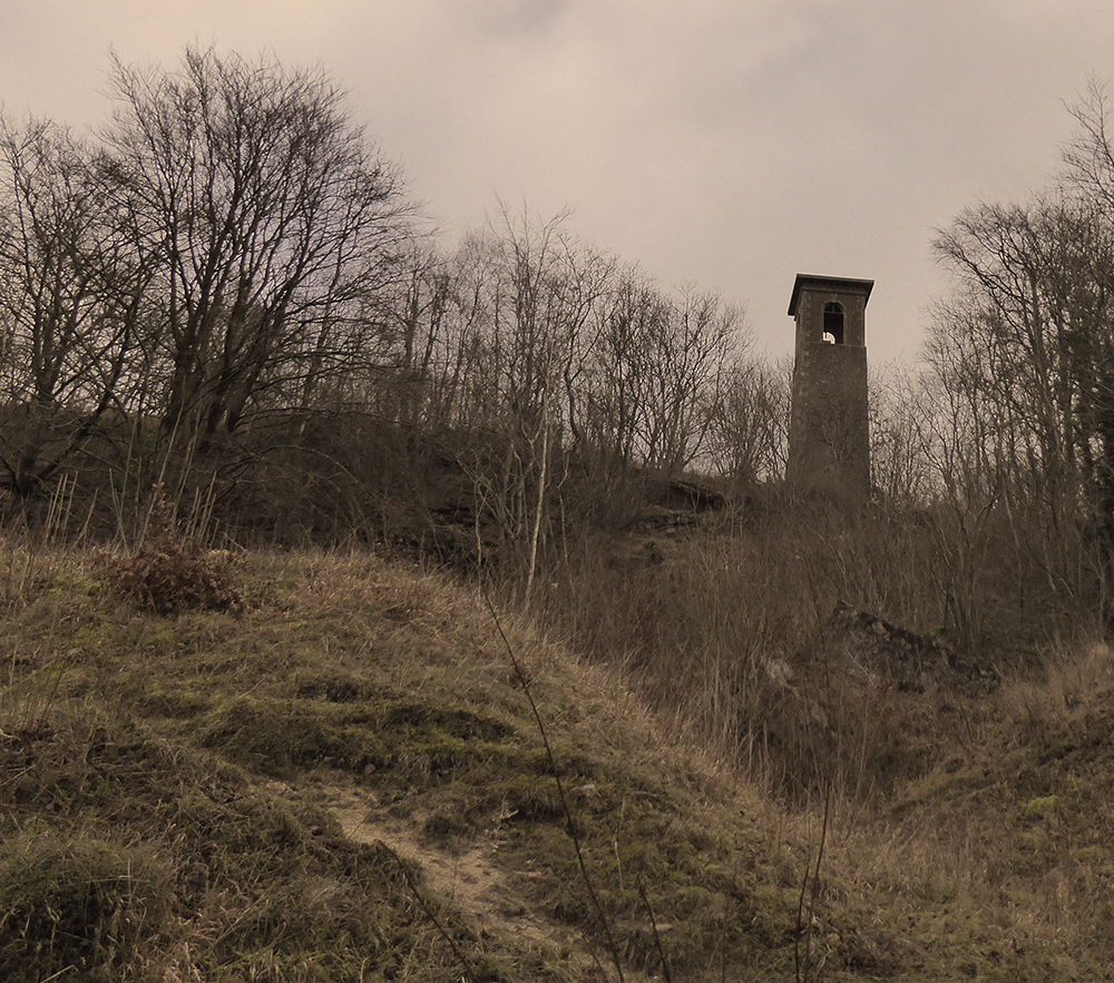
A lovely spring day for a walk which involved lots of hills giving clear and far reaching views. The walk started from Upper Swainswick and took in much of the Upper Lambrook Valley. The village of Woolley has an interesting church (Grade 1 listed) built by John Wood the Younger with an unusual cupola as shown in the photo below. After a few more hills and fields it was across the A46 where there were good views of St Catherine’s Valley and Monkswood reservoir. The walk then continued across Charmy Down – a former RAF station with its many abandoned buildings hinting at a bygone age – and back under the A46 to the start.
Happy New Year from Bath Ramblings
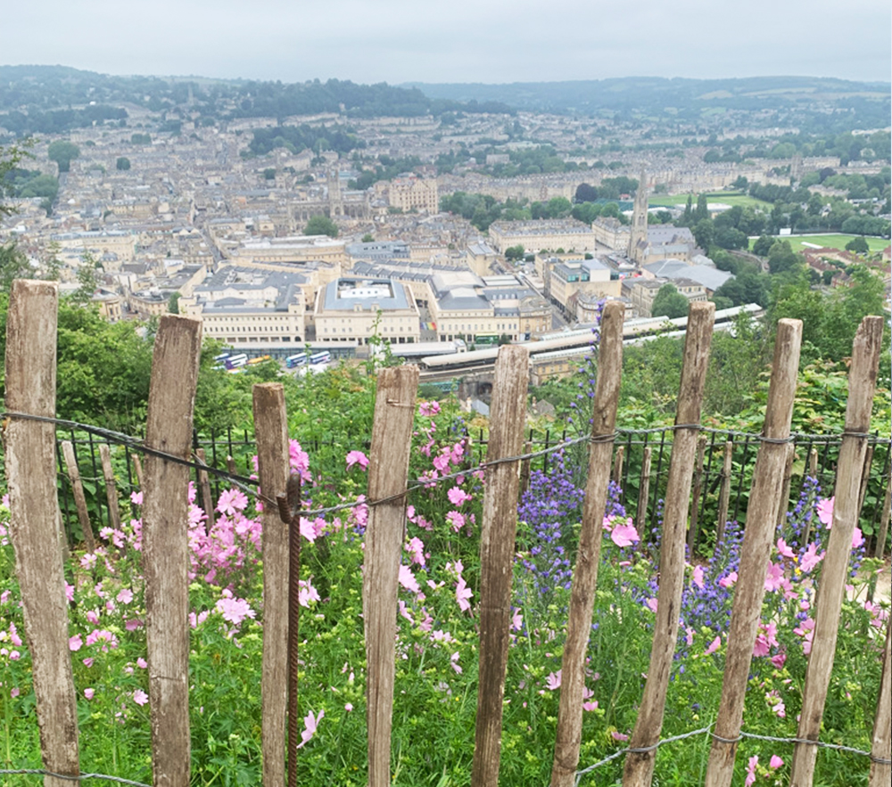
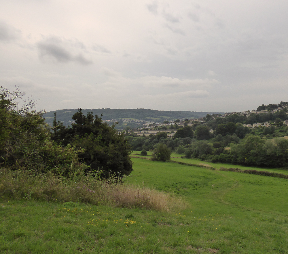
This walk started from Larkhall Sports Club and went round the edge of Charlcombe before heading up to Woolley with its attractive church and interesting graveyard and then on to Upper Swainswick. The return was via a footpath alongside but above the A46 and back through Lower Swainswick. There were several steep climbs which gave excellent views of the city and surrounding countryside.
A lovely day for a walk – clear blue skies and sunshine was a real November treat. The walk started from Newbridge Park and Ride and, after crossing the A4, went along footpaths to Newton St Loe before going through the grounds of Bath Spa University. One of the lakes provided a quiet spot for lunch before returning across the A4, under the railway line and along the cycle path to the start.
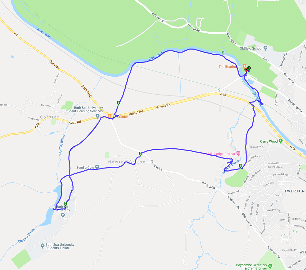
A 5.2 mile walk starting and ending at Newbridge Park-and-Ride
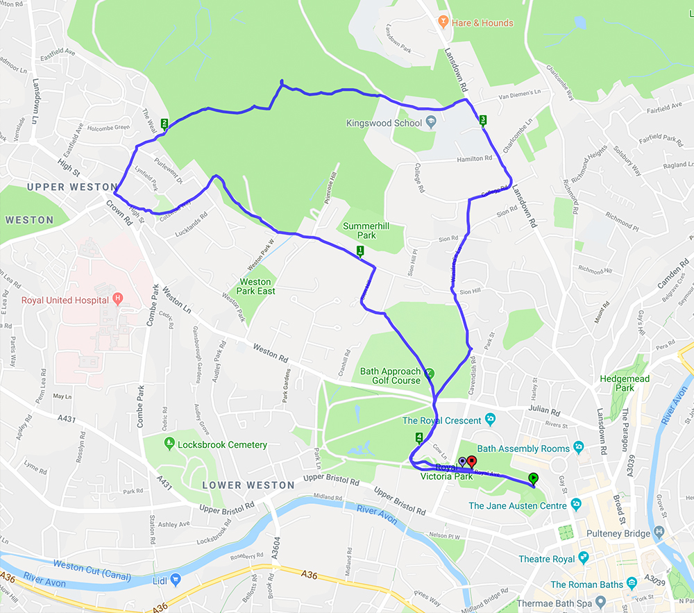
This 4.2 mile circular walk started from Victoria Park and slowly ascended to Weston village and onwards and upwards to Primrose Hill for a well earned lunch break. A glorious day for a walk with clear blue skies, warm sunshine and wondeful views across the city.
Recent Comments