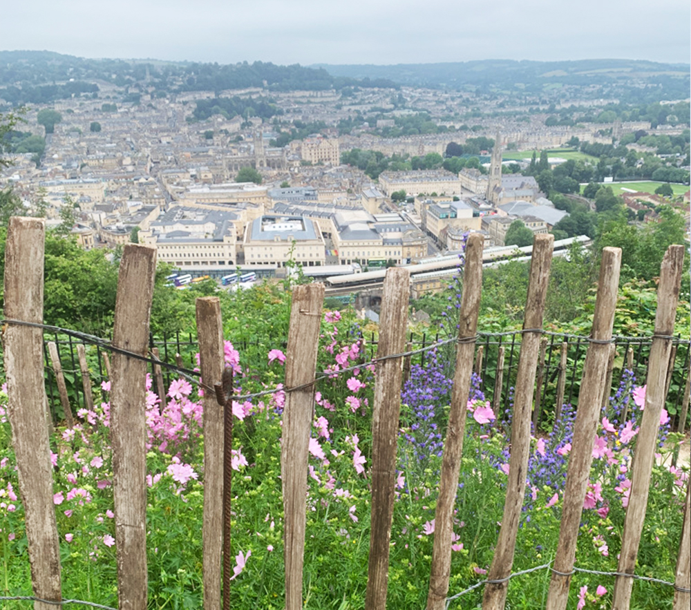
Ramblers group walks have started up again. We’ll be leading this walk in a couple of weeks (all details on the Bath Ramblers website) It’s a lovely route with great views of Bath city from Alexandra Park and the Skyline trail. At the moment the fields are full of wildflowers and we even caught a glimpse of the llamas near Prior Park. (they weren’t cooperating for photos sadly)
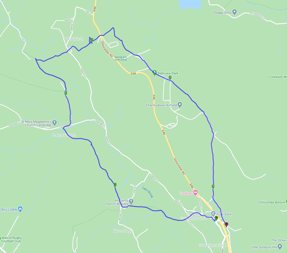
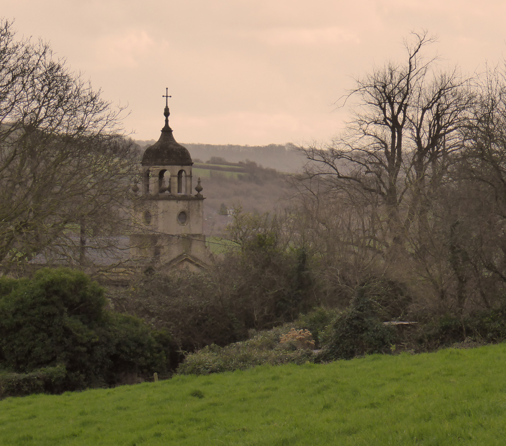
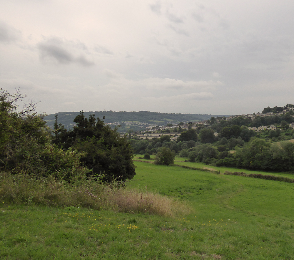
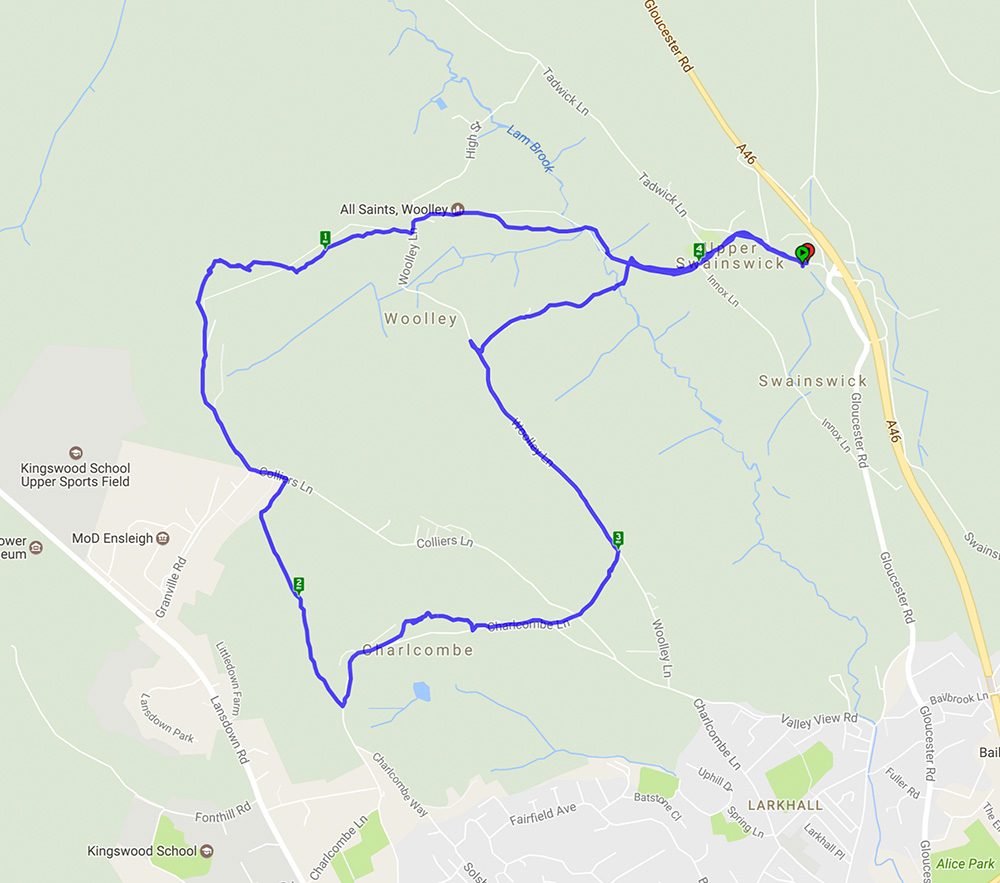
A lovely spring day for a walk which involved lots of hills giving clear and far reaching views. The walk started from Upper Swainswick and took in much of the Upper Lambrook Valley. The village of Woolley has an interesting church (Grade 1 listed) built by John Wood the Younger with an unusual cupola as shown in the photo below. After a few more hills and fields it was across the A46 where there were good views of St Catherine’s Valley and Monkswood reservoir. The walk then continued across Charmy Down – a former RAF station with its many abandoned buildings hinting at a bygone age – and back under the A46 to the start.
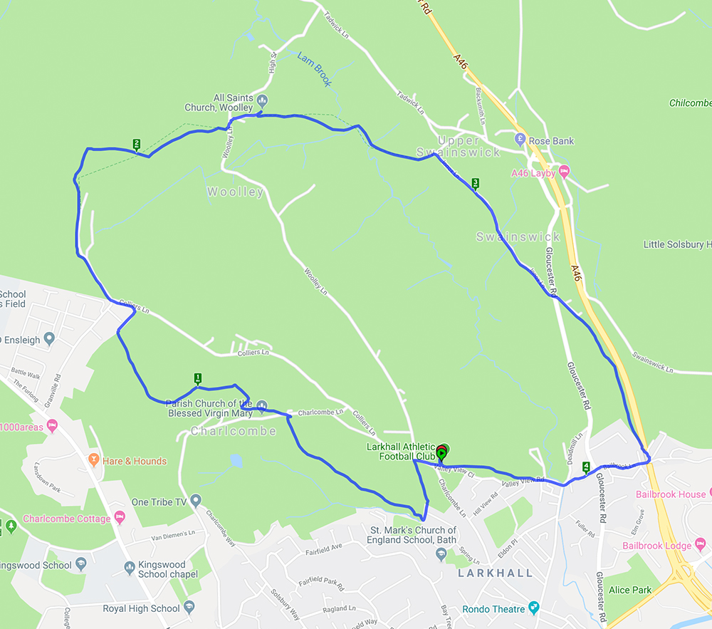
This walk started from Larkhall Sports Club and went round the edge of Charlcombe before heading up to Woolley with its attractive church and interesting graveyard and then on to Upper Swainswick. The return was via a footpath alongside but above the A46 and back through Lower Swainswick. There were several steep climbs which gave excellent views of the city and surrounding countryside.
This is a walk we have done before here and here. It’s 5 miles with lots of hills (and views on a good day) and woodland.
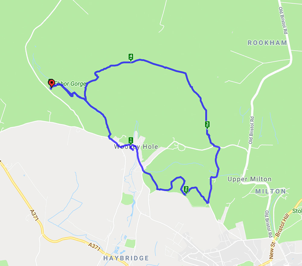
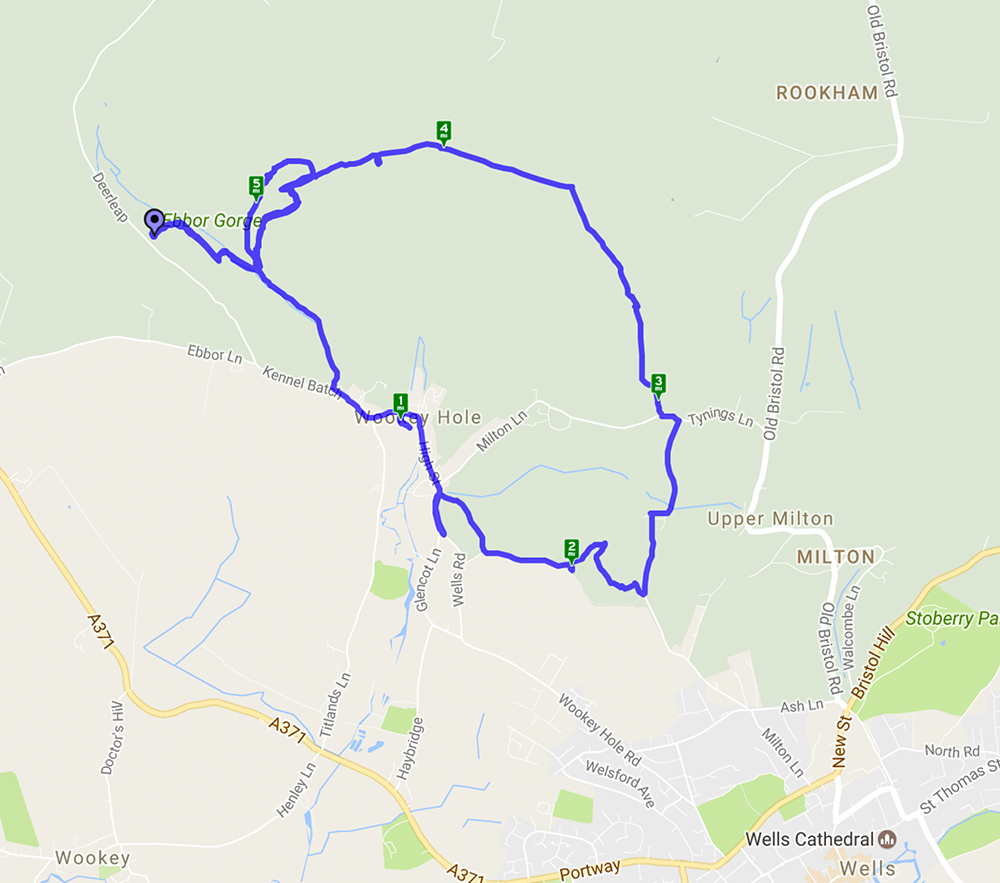
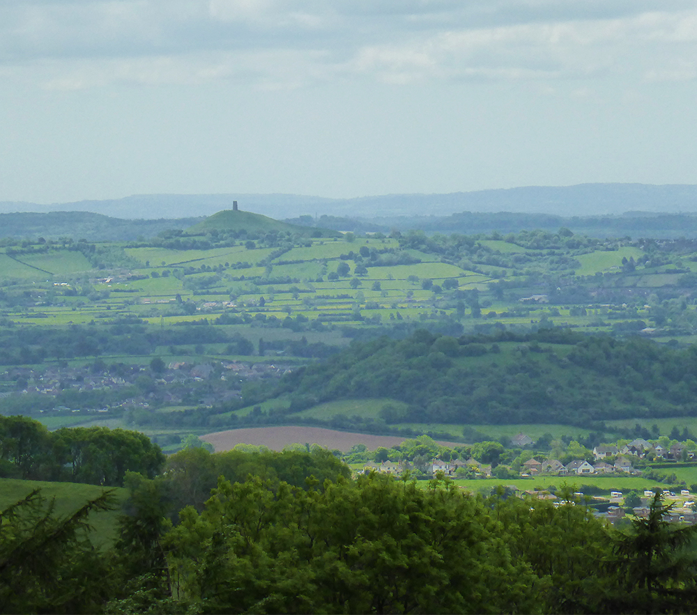
This walk started from Ebbor Gorge car park and went down to the reserve by a steep flight of steps before levelling out for the walk to Wookey Hole village. At the end of the village a path led across fields to Arthur’s Point – good views in all directions. After a stroll through woods another series of hills gave spectacular views across the Somerset levels before returning to the reserve and back to the car park. A lovely spring day with primroses, anemones, bluebells and lambs aplenty.
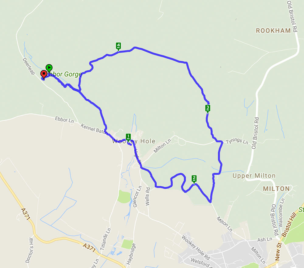
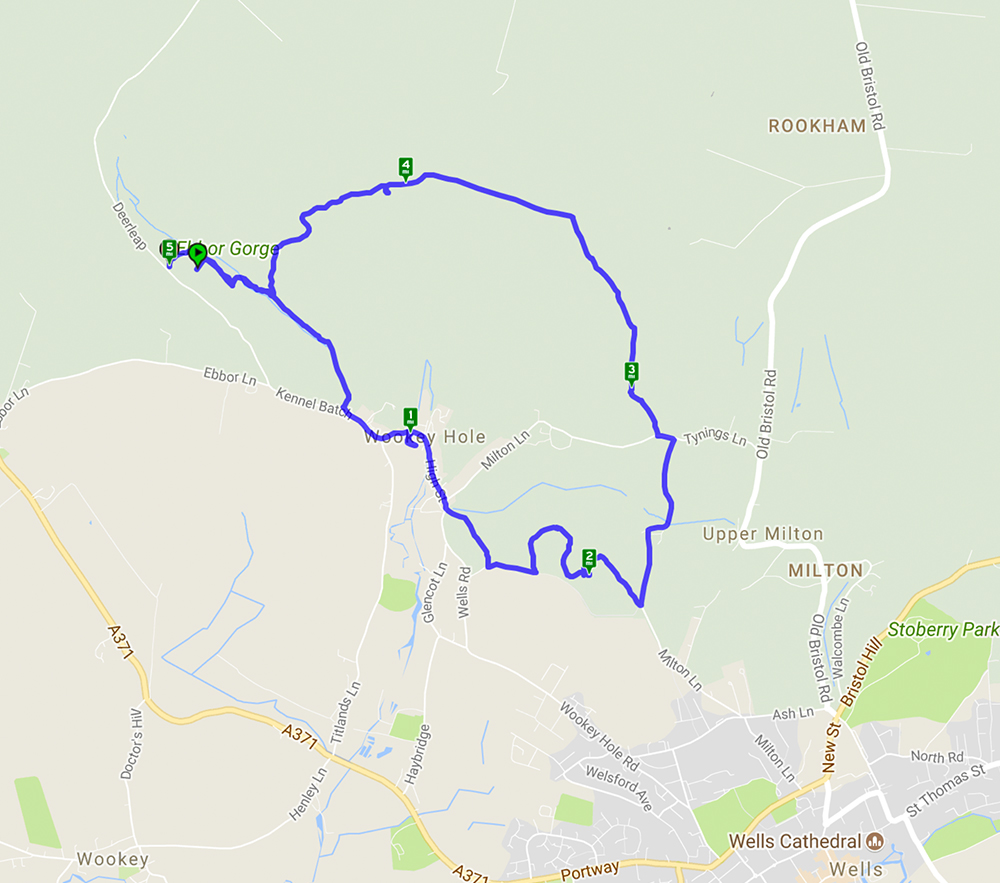
Welcome to our third featured walk which is a 4.9 mile circular hike through Ebbor Gorge on the West Mendip Way. Full instructions are below.
This walk starts from Ebbor Gorge car park and heads down into the reserve before diverting into Wookey Hole village. From there it goes across fields and through woods before returning to the nature reserve and back to the car park. A challenging walk with steep flights of steps and climbs up hills but well worth the effort for the far reaching views across the Somerset countryside. The limekilns and rock formations are an interesting addition.
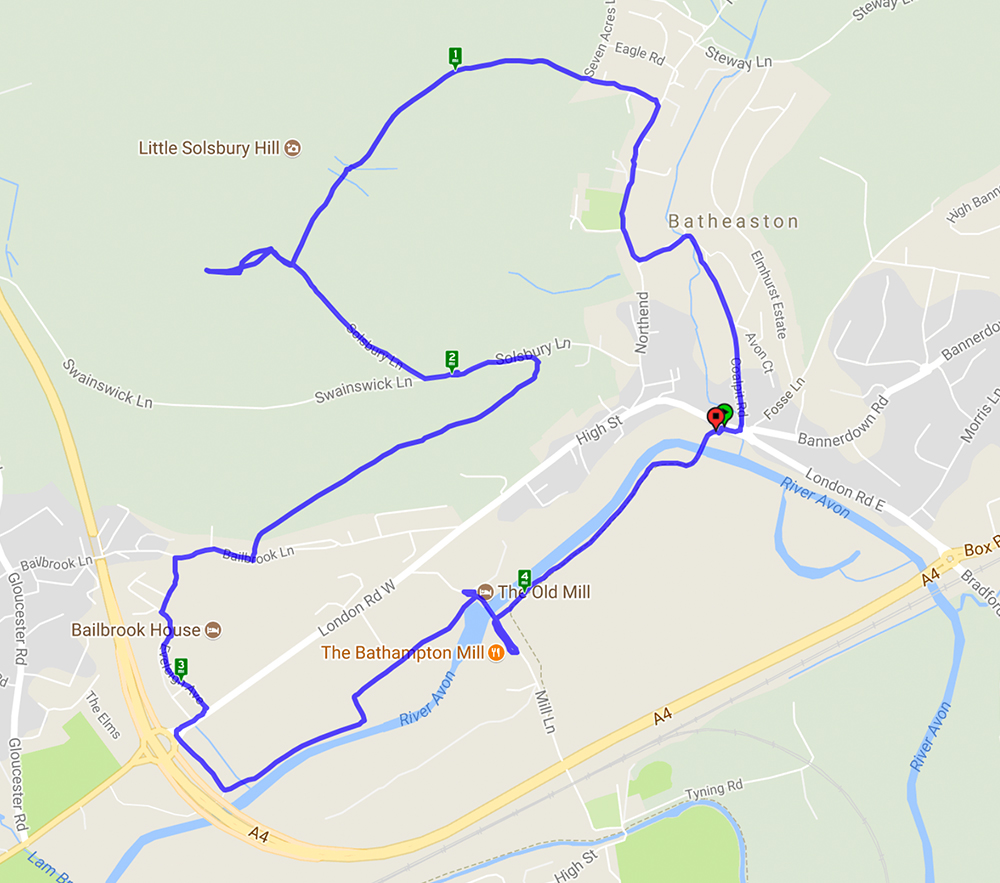
This is now the offical route for the walk we will be leading on 30.7.17 It’s a 5 mile circular route with quite a bit of climbing (worth it for the spectacular views) and lots of woodland steps. For more photos of this route see our previous post and if you want to join the walk see here for details
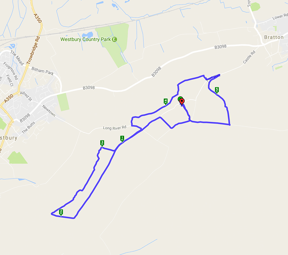
Westbury White Horse – A 5.9 mile walk starting and ending at the White Horse car park.
The walk started from the Westbury White Horse car park and went past the old chalk quarry and skirted Imber Range – no firing today! The mostly level walk from high ground gave wonderful long distance views. Paragliders and kite flyers were taking advantage of the wind. Animal highlights included a Peregrine Falcon, skylarks, very woolly brown sheep and shaggy ponies – and, of course, the White Horse. An avenue of Beech trees provided the ideal setting for coffee and Easter Eggs!
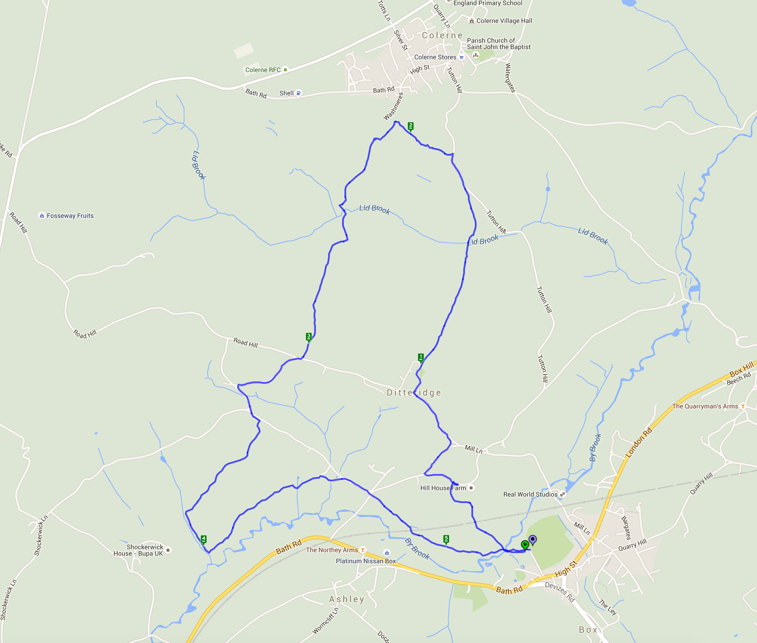
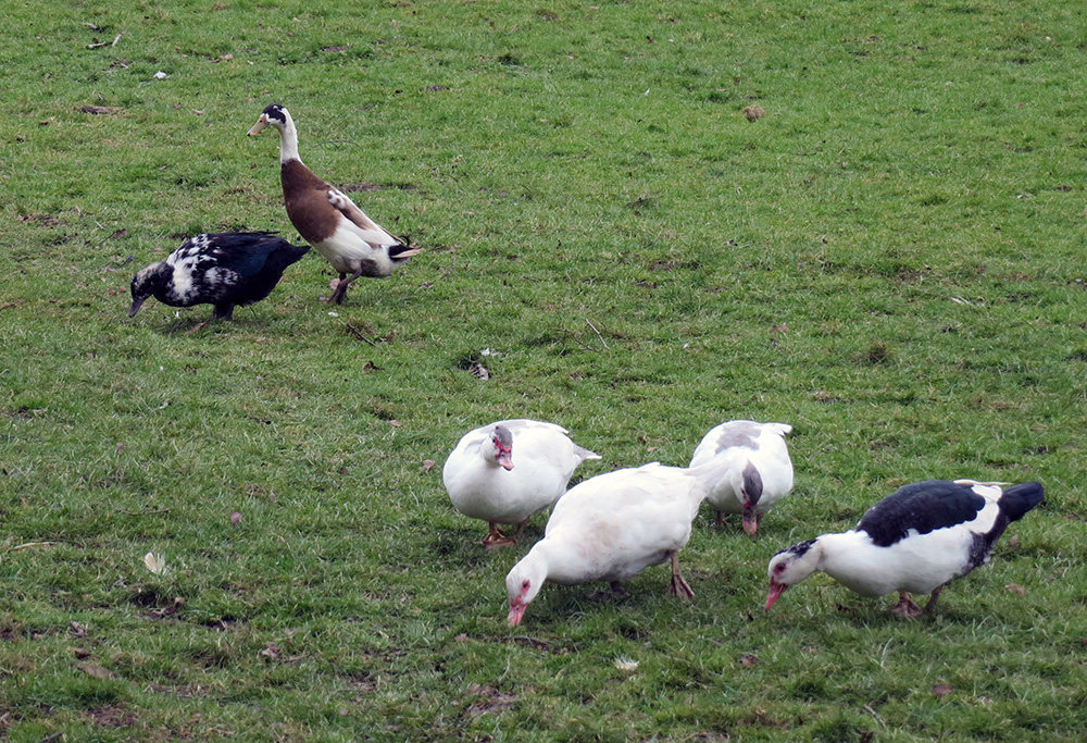
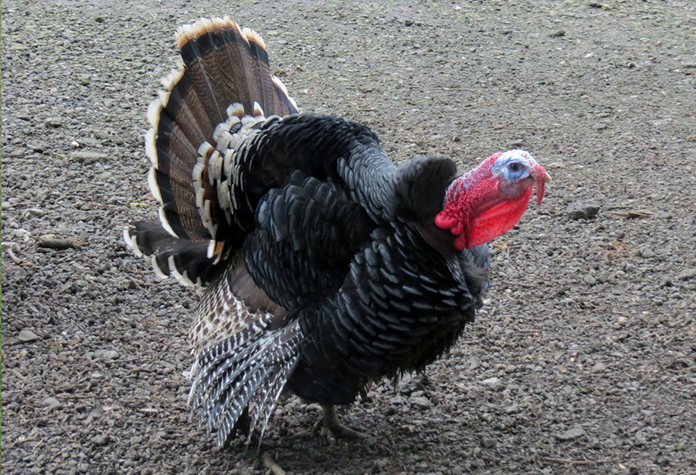
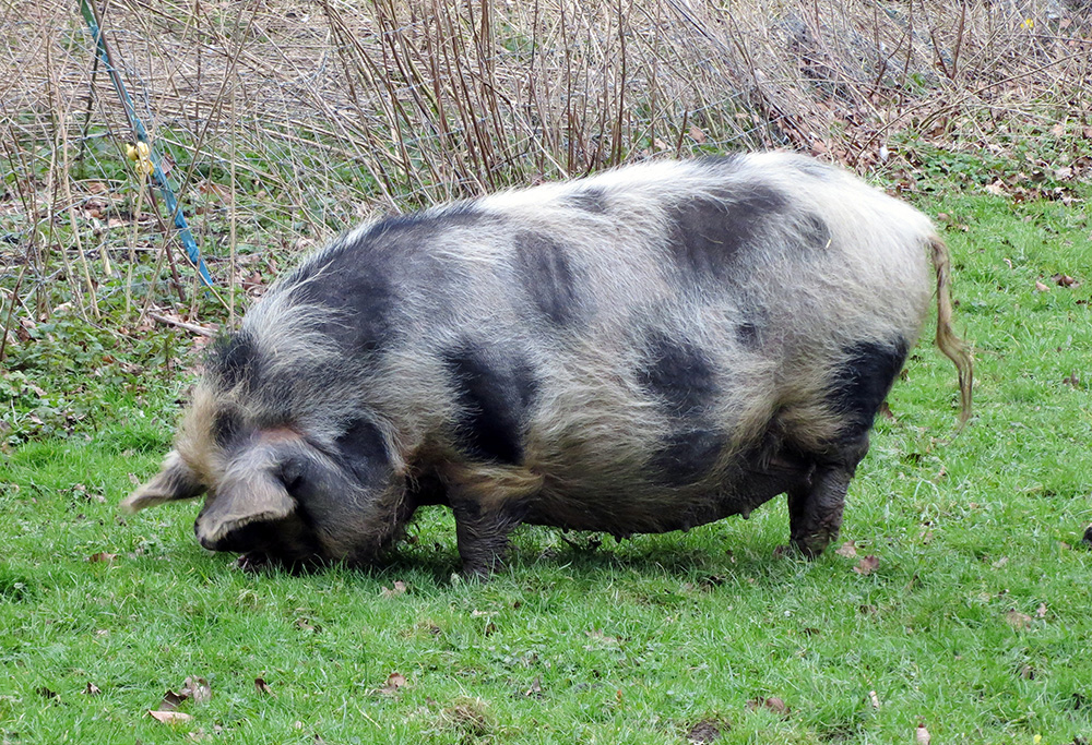
This lovely walk from Box went through the delightful hamlet of Ditteridge with its attractive Norman Church of St Christopher. It was then northward up hill and down dale towards Colerne before turning south and back to Box. The snowdrops and daffodils were in abundance and even the odd bluebell was in flower. The lambs were enjoying the spring weather and a smallholding had a good stock of feathered friends – including Indian runner ducks and a very handsome turkey.
5.34 mile walk starting and ending at Box car-park.
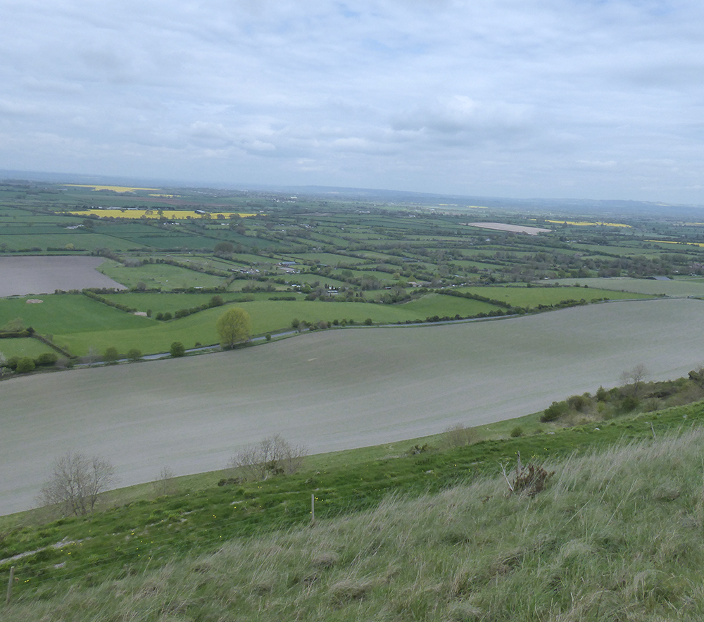
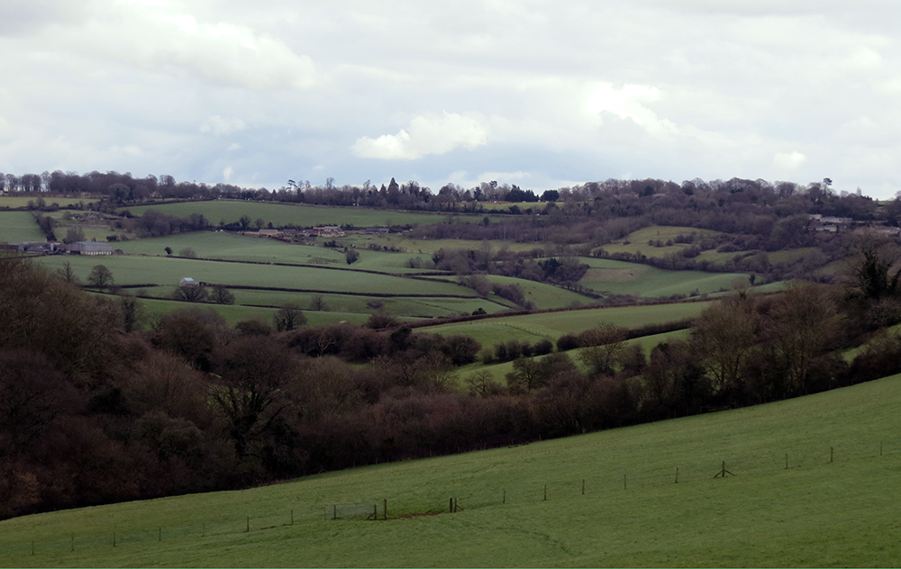
The rolling hills of Wiltshire in March – still wintry but there are signs of spring life if you look hard enough
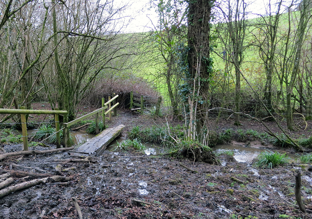
These lovely little wooden bridges are a common site in the woods
Thank you for visiting Bath Ramblings. Here you will find information and photos from a variety of walks around the South West. Most of these walks are organized by the Bath Ramblers – find out more on the ‘about’ page.
The maps are meant as a rough guide, if you click on the ‘walkmeter’ buttons on each post you can get more information including a satellite map.
Don’t forget to click on the ‘read more’ button at the bottom of each post for more photos.


Recent Comments