Westbury White Horse – 16.4.17
Westbury White Horse – A 5.9 mile walk starting and ending at the White Horse car park.
The walk started from the Westbury White Horse car park and went past the old chalk quarry and skirted Imber Range – no firing today! The mostly level walk from high ground gave wonderful long distance views. Paragliders and kite flyers were taking advantage of the wind. Animal highlights included a Peregrine Falcon, skylarks, very woolly brown sheep and shaggy ponies – and, of course, the White Horse. An avenue of Beech trees provided the ideal setting for coffee and Easter Eggs!
Box – 26.2.17
Box Re-visited
If you want to see this walk in a different light have a look at the pictures from last July when we walked it previously.
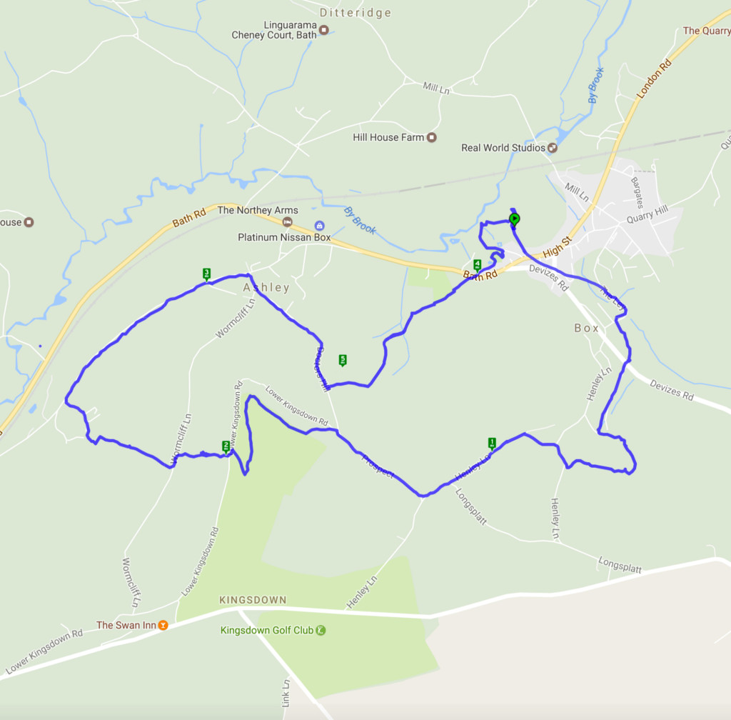
This walk was a repeat of last July’s except for the weather and there were no wild flowers in the meadow. That was more than compensated for by the displays of spring flowers – especially snowdrops which seemed to be everywhere. The rain kindly held off until the walk was finished although it was clearly on its way. This really is a delightful walk with good views and interesting buildings along the way.
Swainswick – 29.1.17
Swainswick
This walk started from Swainswick and involved some steep climbing through fields which would have given lovely views if it wasn’t for the drizzle and mist! It then went through the village of Woolley with its lovely church and onward around the redeveloped Ensleigh site and returning to Swainswick through the village of Charlcombe. A very attractive pheasant sitting atop a dead tree was a pleasing sight.
Brown’s Folly Nature Reserve – 8.1.17 *FEATURED WALK*
Happy New Year from Bath Ramblings. We are pleased to offer you our second fully featured walk which is a 4.5 mile (approx) circular hike starting and ending at St Swithin’s Church Bathford.
‘This very pleasant walk (thanks to Nigel Vile) started from St Swithun’s Church in Bathford before starting a steep climb up to Brown’s Folly. Following a pause to recover it was a gentle walk through the Nature Reserve down to the main road then a brief walk before descending under the road via the dry arch. Another gentle – if muddy – path led to the Conkwell to Bathford lane and finally back to the church. On a clear day the views across to Claverton are wonderful – sadly this wasn’t one of those days. A pleasant walk through fields and woodland and along a country lane gave a variety of scenery.’

Starting at St Swithin’s church walk down the narrow alleyway to the left of the graveyard. When you emerge cross over the road and cross the green to the right of the houses until you come to a stile (there is a sign warning of cows in the field, the herd we came across were pretty docile) From now on the path is an upward climb until you get to the tower.
Beckington – 16.10.16
A 7.5 mile walk starting and ending at White Row Farm
This walk started from White Row Farm shop where a drinks break killed an hour until the torrential rain gave up. Then down to Standerwick, passing the imposing grounds of Standerwick Court, on the way to Rudge with its elegant Manor House. The return route was through fields and along country tracks and lanes – noting Seymour’s Court, the ancestral home of the Seymours (as in Jane Seymour, third wife of Henry V111). A challenging walk in many ways including a herd of very frisky cattle who didn’t appreciate walkers in their fields and some rickety, wobbly stiles. “Wildlife” aplenty including deer, hares and alpacas. A lovely walk with good views and perfect weather – especially as the walk had almost been abandoned at the start.
Pensford – 3.4.16
Pensford and Stanton Drew via the Forest of Avon Community Forest Path
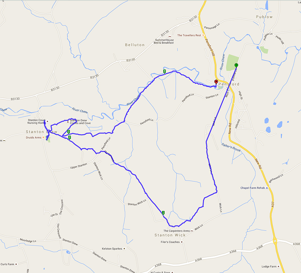
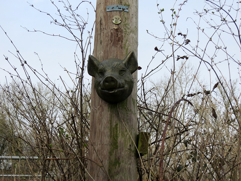
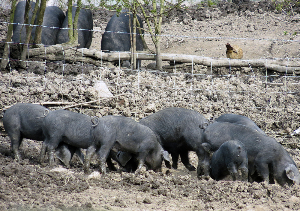
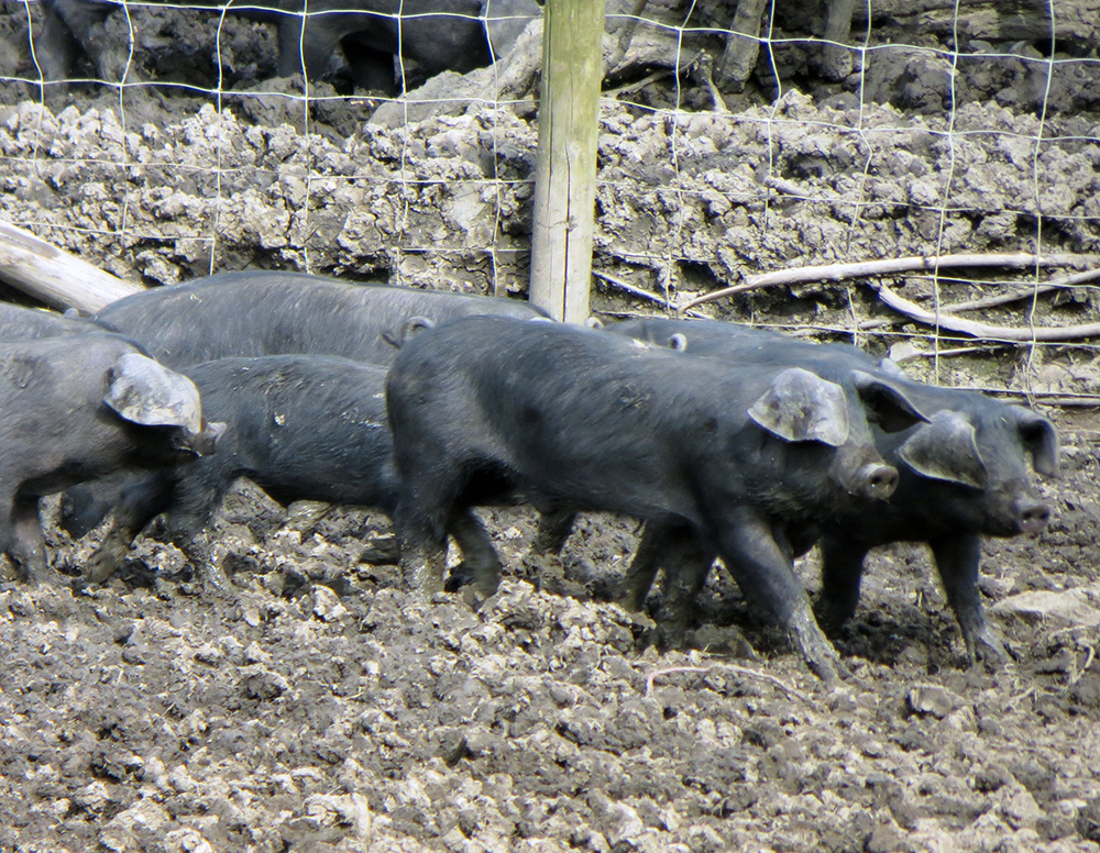
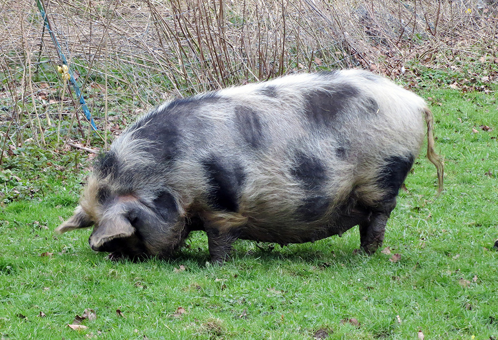
A largely level walk starting from Pensford through Upper Stanton Drew and onward to Stanton Drew to walk around the Stone Circle. Saw a wide variety of animals – a lovely litter of pigs on the Free Range pork farm, friendly donkeys, rather unfriendly goats and some rather large bulls. Walked past the remnants of the coal industry although the winding house and the bath house are now private residences. The return route to Pensford was under the very impressive viaduct. The fields were being planted with this years crops and with the fine weather they will hopefully do well.

Box – 6.3.16
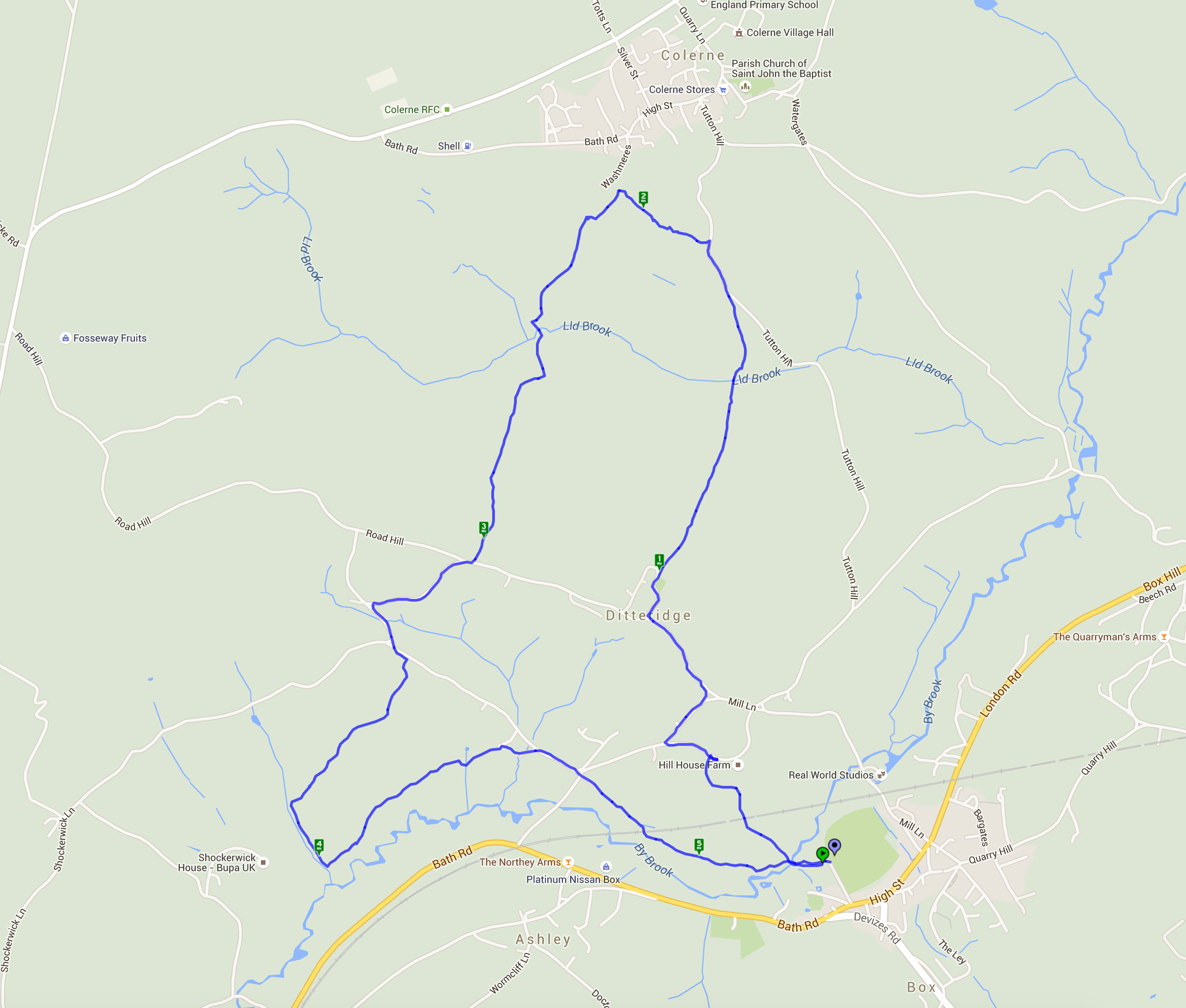
Box and Ditteridge
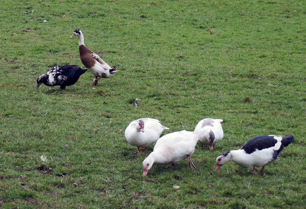
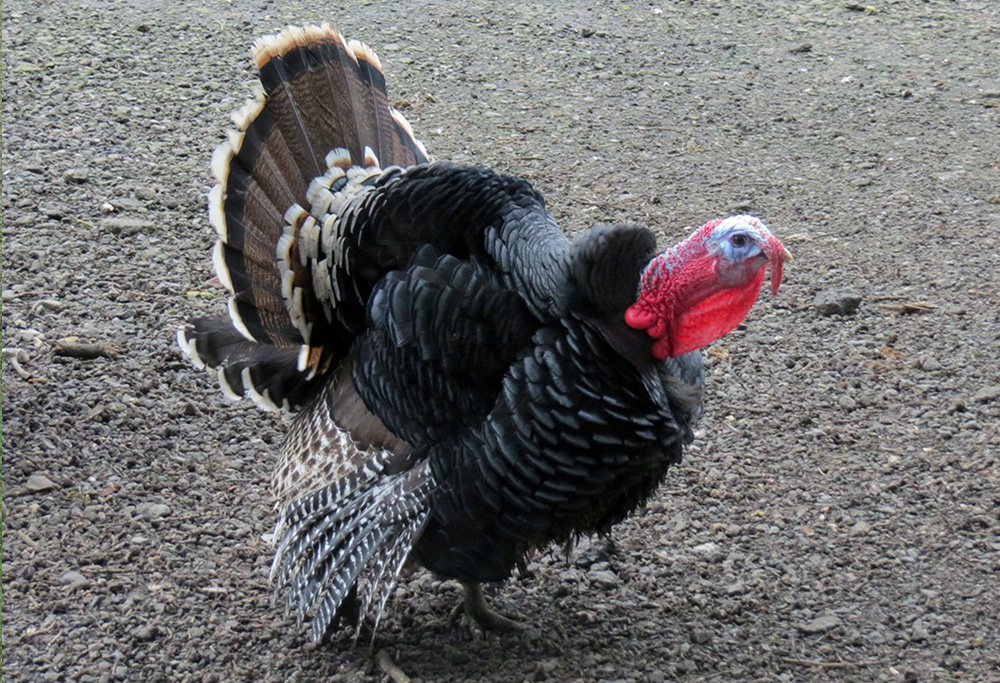
This lovely walk from Box went through the delightful hamlet of Ditteridge with its attractive Norman Church of St Christopher. It was then northward up hill and down dale towards Colerne before turning south and back to Box. The snowdrops and daffodils were in abundance and even the odd bluebell was in flower. The lambs were enjoying the spring weather and a smallholding had a good stock of feathered friends – including Indian runner ducks and a very handsome turkey.

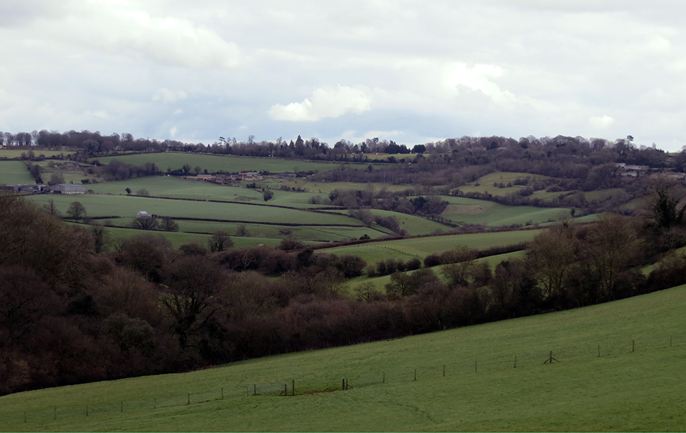
The rolling hills of Wiltshire in March – still wintry but there are signs of spring life if you look hard enough
Animal highlights of the day:
Lansdown – 14.2.16
A circular walk north of Bath starting and ending at Lansdown park-and-ride.
The walk started from Lansdown Park and Ride, through the race course and on through the battlefields. It then skirted Pipley Woods before heading for Prospect Stile with clear views beyond Kelston Roundhill. Although there was a biting wind at times it was a lovely clear, sunny day which gave views across Bristol to South Wales (just) and the Second Severn Crossing.

Animal highlight of the day – a shaggy roe deer:
A picnic stop with views of Bristol, the Severn Crossing and the Welsh mountains (just!)
If you are in need of refreshment the Blathwayt Arms is the nearest pub
North-West Bath – 8.11.15
From the centre of Bath out to the Cotswolds countryside and back again.
This was very much a Town and Country walk with plenty of hills thrown in for good measure. The walk started from Victoria Park and went up through the north side of the city via St James Square and Lansdown Crescent. A brief stop at St Stephen’s Millenium Green and allotments before proceeding through Fairfield Park and into the parish of Charlcombe. A rest in the parish church grounds before returning via Primrose Hill and the Cotswold Way to the Royal Crescent. Sadly it was somewhat misty but the views across the city still inspired.







Recent Comments