January 11, 2018 at 10:14 am
Browne’s Folly Revisited – 7.1.18
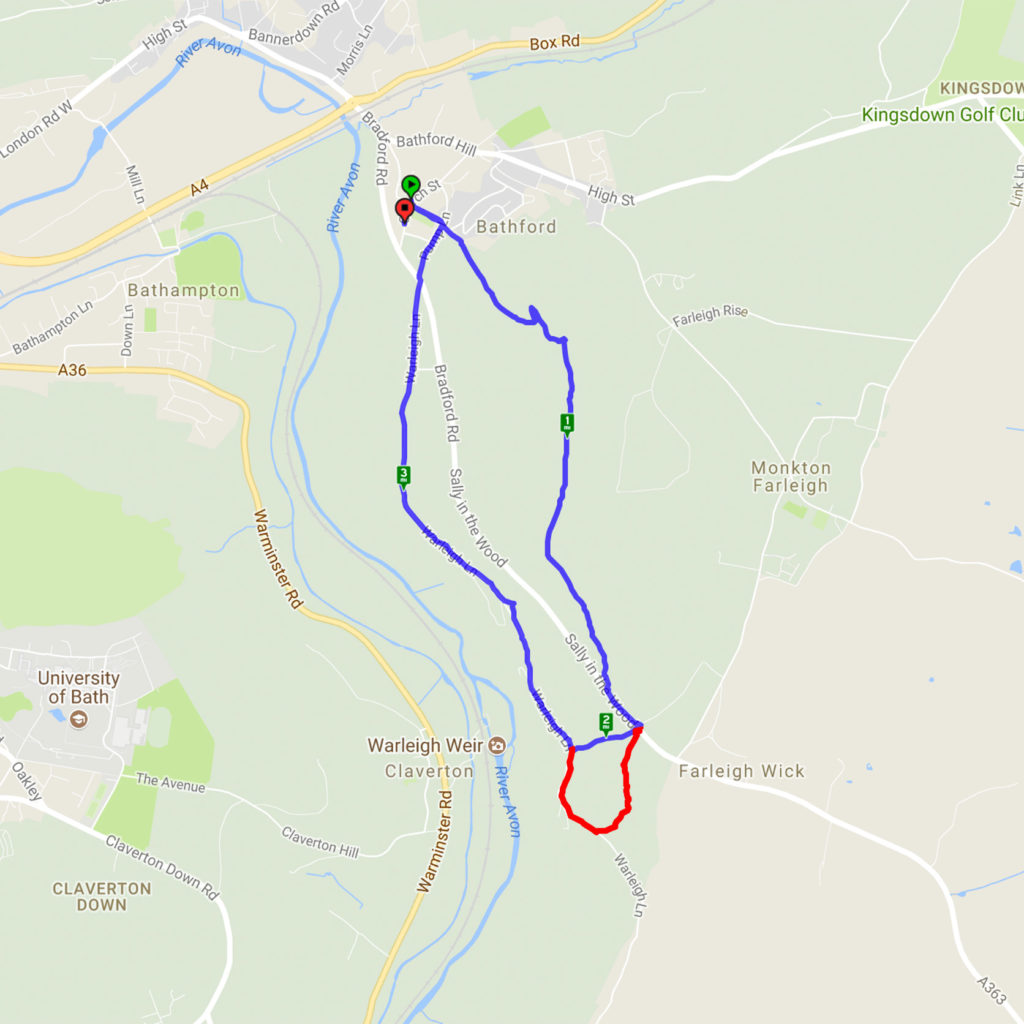
A cold but very sunny morning made the ideal conditions for this walk. Starting from Bathford, a steep climb led through woods to Browne’s Folly before descending through the reserve and heading back to Bathford. A slight variation in the route from the previous walk here avoided the very muddy bridleway and was a pleasant, shorter path. The clear skies gave excellent views.
The map below shows today’s route in blue including the shortcut – the extra red bit is the part of the original route that can be circumvented if the path is particularly muddy. You can see details of the last time we did this walk here.

January 29, 2017 at 4:04 pm
Swainswick
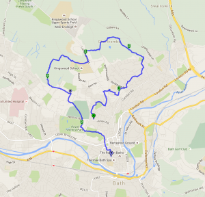
This walk started from Swainswick and involved some steep climbing through fields which would have given lovely views if it wasn’t for the drizzle and mist! It then went through the village of Woolley with its lovely church and onward around the redeveloped Ensleigh site and returning to Swainswick through the village of Charlcombe. A very attractive pheasant sitting atop a dead tree was a pleasing sight.


4.23 mile circular walk starting and ending at Swainswick

the hills were shrouded in mist
November 9, 2015 at 8:04 am
From the centre of Bath out to the Cotswolds countryside and back again.
This was very much a Town and Country walk with plenty of hills thrown in for good measure. The walk started from Victoria Park and went up through the north side of the city via St James Square and Lansdown Crescent. A brief stop at St Stephen’s Millenium Green and allotments before proceeding through Fairfield Park and into the parish of Charlcombe. A rest in the parish church grounds before returning via Primrose Hill and the Cotswold Way to the Royal Crescent. Sadly it was somewhat misty but the views across the city still inspired.

January 18, 2015 at 1:05 pm
Widcombe area of Bath
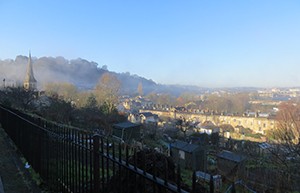
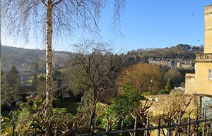
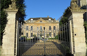
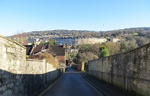
This is a short easy walk to do if you want to explore nearer to town. There are some lovely views at certain spots and various buildings of historical interest. The whole route is on either roads or pavements so no danger of mud etc. If you fancy a stroll and don’t want to travel too far this is perfect. If you like a good garden centre then at the bottom of Forefield Rise turn right and you will find Prior Park Garden Centre – a fantastic place with an amazing deli shop.
January 10, 2015 at 10:55 am
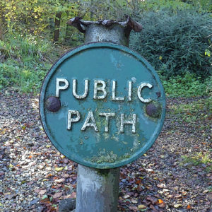
This is the route of the Saturday morning Bath Skyline parkrun but it’s also really popular with walkers. Like most of the Skyline routes it has some great views of the city below. It meanders through ‘Fairy Wood’ and ‘Long Wood’ and can get pretty muddy during wet weather. There is one set of steep stone steps but other than that it’s fairly flat and easy. The route is a pretty accurate 5k having been measured for parkrun.


Recent Comments